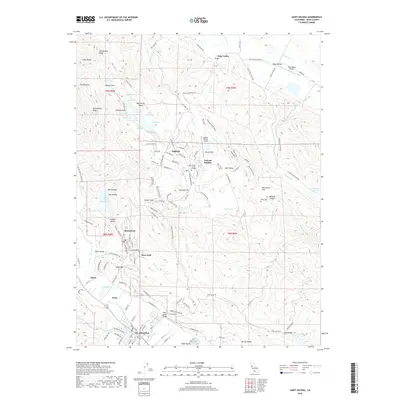
2018 Map of Saint Helena
USGS Topo · Published 2018About this map
St. Helena and the upper reaches of the Napa Valley define this landscape, where the valley floor transitions into the heights of Howell Mtn. The 2018 survey reveals a specialized geography of institutional and rural settlements, notably the high-elevation community of Angwin centered around Pacific Union College and the neighboring Veteran Heights. Local history is preserved in landmarks such as the Morris Cem and the distinctive Pope Street Bridge, while the aviation history of the ridge is marked by Angwin-Parrett Field.
Find a feature on this map
140 named features on this map. Tap any name to fly to it.
Don’t see what you’re looking for? This feature index may not catch every label — zoom into the map to look around manually.
Map Details
Editions of this 2018 Saint Helena Map
This is the sole edition of this map. No revisions or reprints were ever made.
Other maps of this area

1902 · Napa
USGS Topo · 1:125,000

1916 · Santa Rosa
USGS Topo · 1:62,500

1927 · Calistoga
USGS Topo · 1:62,500

1942 · Sonoma
USGS Topo · 1:62,500

1942 · St. Helena
USGS Topo · 1:62,500

1943 · Calistoga
USGS Topo · 1:62,500

1944 · Santa Rosa
USGS Topo · 1:62,500

1945 · Calistoga
USGS Topo · 1:62,500

1945 · St. Helena
USGS Topo · 1:62,500

1947 · Santa Rosa
USGS Topo · 1:250,000