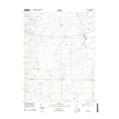
2015 Map of Saint Jacob
USGS Topo · Published 2015About this map
Emerald Mound stands as a prominent topographical feature in this section of southwestern Illinois, overlooking a landscape defined by the winding course of Silver Creek and its many tributaries. The area between Troy and Saint Jacob is densely populated with small family and community burial grounds, reflecting generations of rural settlement. Genealogists will find numerous specific sites such as the Old Smart Family Cemetery, Hagler Cemetery, and Widicus Family Cemetery scattered across the farmland.
Find a feature on this map
114 named features on this map. Tap any name to fly to it.
Don’t see what you’re looking for? This feature index may not catch every label — zoom into the map to look around manually.
Map Details
Editions of this 2015 Saint Jacob Map
This is the sole edition of this map. No revisions or reprints were ever made.
Other maps of this area

1906 · Breese
USGS Topo · 1:62,500

1907 · Breese
USGS Topo · 1:62,500

1907 · Belleville
USGS Topo · 1:62,500

1927 · Edwardsville
USGS Topo · 1:62,500

1932 · Edwardsville
USGS Topo · 1:62,500

1935 · Lebanon
USGS Topo · 1:24,000

1937 · Collinsville
USGS Topo · 1:24,000

1937 · O'Fallon
USGS Topo · 1:24,000

1937 · New Douglas
USGS Topo · 1:48,000

1944 · New Douglas
USGS Topo · 1:62,500