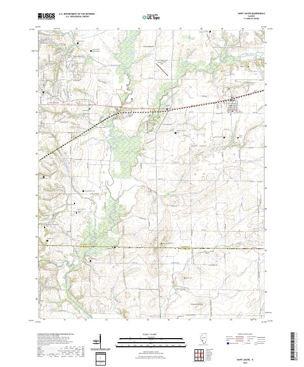
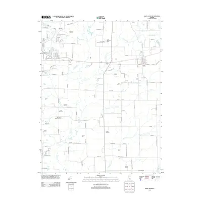
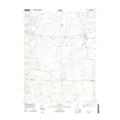
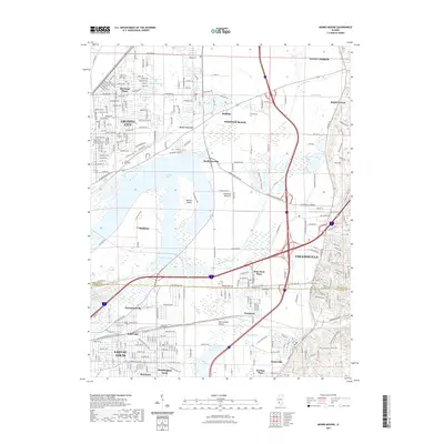
2024 Map of Saint Jacob
USGS Topo · Published 2024About this map
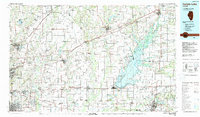
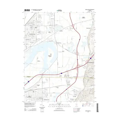
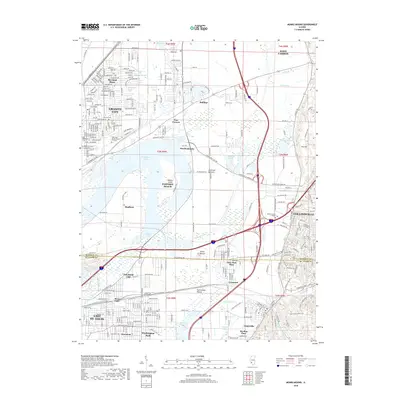
The village of St. Jacob serves as the primary hub for this agricultural and residential landscape in eastern Madison County. The area is defined by the winding course of Silver Creek and its many tributaries, including Wendell Branch and East Fork Silver Creek, which dictate the local topography and historical property lines. A notable concentration of genealogy-rich sites is scattered across the township, ranging from established church yards like Saint Johns Evangelical Cem and Saint John the Baptist Cem to smaller, isolated family plots such as the Smart Family Burial Ground and Anderson Family Cem. To the south, the terrain rises at Emerald Mound, a prominent landform near the Madison Co and ST. Clair Co boundary. Modern aviation infrastructure is represented by the St Louis Metro-East Airport/Shafer Field, while the surrounding countryside remains marked by a dense network of country roads and local landmarks like Micks Lake.
Find a feature on this map
129 named features on this map. Tap any name to fly to it.
Don’t see what you’re looking for? This feature index may not catch every label — zoom into the map to look around manually.
Map Details
Editions of this 2024 Saint Jacob Map
This is the sole edition of this map. No revisions or reprints were ever made.
Historical Maps of Troy Through Time
15 maps found
1935 Monks Mound
Madison County, IL
1954 Monks Mound
Madison County, IL
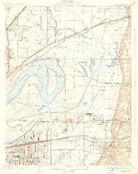
1974 Grant Ford
Madison County, IL
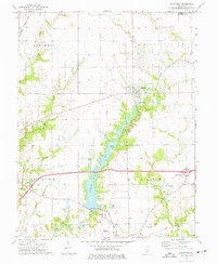
1985 Carlyle Lake
Madison County, IL
1998 Monks Mound
Madison County, IL
2012 Monks Mound
Madison County, IL
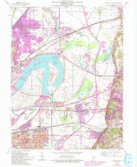
2012 Saint Jacob
Madison County, IL
2015 Monks Mound
Madison County, IL
2015 Saint Jacob
Madison County, IL
2018 Monks Mound
Madison County, IL
2018 Saint Jacob
Madison County, IL
2021 Monks Mound
Madison County, IL
2021 Saint Jacob
Madison County, IL
2024 Monks Mound
Madison County, IL
2024 Saint Jacob
Madison County, IL