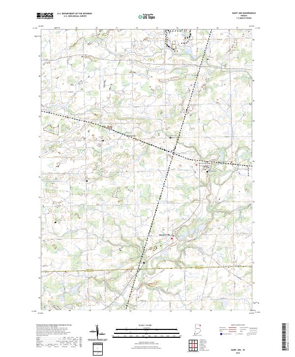
2022 Map of Saint Joe
USGS Topo · Published 2022About this map
St. Joe and Spencerville are the primary hubs along the winding Saint Joseph River in this northeastern Indiana survey. The landscape is defined by an intricate network of drainage systems, including Wingard Ditch, Houdelmier Ditch, and Sebert Ditch, which underscore the region's agricultural management. Local history is deeply embedded in the land, marked by numerous small burial grounds such as Riverside Cem, White City Cem, and Jenkins Cem. The settlement of Concord and the crossing of the Saint Joseph River near the DeKalb Co Allen Co line illustrate the historical connectivity between rural townships. Modern recreational development is visible via the St. Joseph River Greenway Trail, which follows the river's path south of St. Joe.
Find a feature on this map
81 named features on this map. Tap any name to fly to it.
Don’t see what you’re looking for? This feature index may not catch every label — zoom into the map to look around manually.
Map Details
Editions of this 2022 Saint Joe Map
This is the sole edition of this map. No revisions or reprints were ever made.
Other maps of this area

1953 · Fort Wayne
USGS Topo · 1:250,000

1956 · Fort Wayne
USGS Topo · 1:250,000

1956 · Cedarville
USGS Topo · 1:24,000

1957 · Auburn
USGS Topo · 1:24,000

1957 · Waterloo
USGS Topo · 1:24,000

1958 · Hicksville
USGS Topo · 1:24,000

1958 · Grabill
USGS Topo · 1:24,000

1958 · Butler West
USGS Topo · 1:24,000

1958 · Woodburn North
USGS Topo · 1:24,000
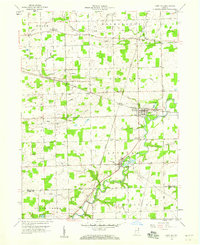
1958 · Saint Joe
USGS Topo · 1:24,000