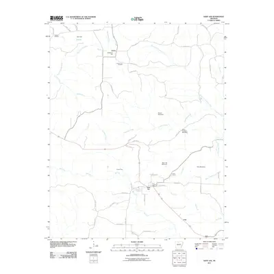
2011 Map of Saint Joe
USGS Topo · Published 2011About this map
Saint Joe serves as a central hub in this Ozark landscape, where the Saint Joe Post Office sits at the intersection of local routes leading toward the highlands. The terrain is defined by dramatic elevations such as Saint Joe Mountain and Davy Crockett Mountain, with the deep incisions of Tomahawk Creek and Mill Creek shaping the valley settlements. Evidence of regional industry is visible at the Excelsior Mine, located northwest of the main town site.
Find a feature on this map
58 named features on this map. Tap any name to fly to it.
Don’t see what you’re looking for? This feature index may not catch every label — zoom into the map to look around manually.
Map Details
Editions of this 2011 Saint Joe Map
This is the sole edition of this map. No revisions or reprints were ever made.
Other maps of this area

1892 · Marshall
USGS Topo · 1:125,000

1893 · Yellville
USGS Topo · 1:125,000

1894 · Marshall
USGS Topo · 1:125,000

1901 · Marshall
USGS Topo · 1:125,000

1903 · Yellville
USGS Topo · 1:125,000

1905 · Yellville
USGS Topo · 1:125,000

1929 · Yellville
USGS Topo · 1:125,000

1939 · Snowball
USGS Topo · 1:62,500

1941 · Snowball
USGS Topo · 1:62,500

1942 · Snowball
USGS Topo · 1:62,500