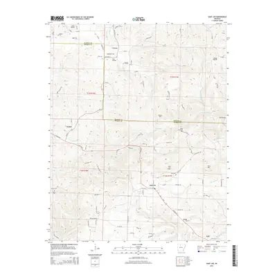
2014 Map of Saint Joe
USGS Topo · Published 2014About this map
Saint Joe sits near the crossing of N US 65 Hwy and AR 374 Hwy, surrounded by the high peaks of the Ozark landscape. This survey illustrates a rural corridor in Searcy County defined by its mountain summits, including Davy Crockett Mtn, Saint Joe Mtn, and Pilot Mtn. The settlement pattern follows the ridges and creek valleys, with smaller communities like Pindall, Verona, and Anderson Flat connected by a network of county roads. For genealogists, several local burial grounds are documented, such as Beckham Cem in the northwest and Henley Cem near the center of the quadrangle. The hydrology of the area is complex, characterized by seasonal drainage through Tomahawk Cr, Mill Cr, and several named hollows like Jones Hollow and Wilson Hollow, which have shaped the local topography and land use for generations.
Find a feature on this map
101 named features on this map. Tap any name to fly to it.
Don’t see what you’re looking for? This feature index may not catch every label — zoom into the map to look around manually.
Map Details
Editions of this 2014 Saint Joe Map
This is the sole edition of this map. No revisions or reprints were ever made.
Other maps of this area

1892 · Marshall
USGS Topo · 1:125,000

1893 · Yellville
USGS Topo · 1:125,000

1894 · Marshall
USGS Topo · 1:125,000

1901 · Marshall
USGS Topo · 1:125,000

1903 · Yellville
USGS Topo · 1:125,000

1905 · Yellville
USGS Topo · 1:125,000

1929 · Yellville
USGS Topo · 1:125,000

1939 · Snowball
USGS Topo · 1:62,500

1941 · Snowball
USGS Topo · 1:62,500

1942 · Snowball
USGS Topo · 1:62,500