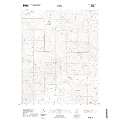
2020 Map of Saint Joe
USGS Topo · Published 2020About this map
Saint Joe sits at the heart of this landscape where the Marion Co Searcy Co boundary line divides the drainage basins of the Ozarks. The area is characterized by a network of creeks and high ground, with Tomahawk Cr and its tributaries like N Fork Tomahawk Cr carving through the terrain near Davy Crockett Mtn and Saint Joe Mtn. Settlement is concentrated along the highway corridors, connecting established communities like Pindall and Duff with smaller locales such as Verona and the upland plateau of Anderson Flat. For genealogists and local historians, several burial sites are documented across the county line, including Henley Cem, Anderson Flat Cem, and Beckham Cem. The map reveals a transition from the lower elevations of Jones Hollow and Ham Flat in the north to the more prominent summits of Pilot Mtn in the southeast.
Find a feature on this map
89 named features on this map. Tap any name to fly to it.
Don’t see what you’re looking for? This feature index may not catch every label — zoom into the map to look around manually.
Map Details
Editions of this 2020 Saint Joe Map
This is the sole edition of this map. No revisions or reprints were ever made.
Other maps of this area

1892 · Marshall
USGS Topo · 1:125,000

1893 · Yellville
USGS Topo · 1:125,000

1894 · Marshall
USGS Topo · 1:125,000

1901 · Marshall
USGS Topo · 1:125,000

1903 · Yellville
USGS Topo · 1:125,000

1905 · Yellville
USGS Topo · 1:125,000

1929 · Yellville
USGS Topo · 1:125,000

1939 · Snowball
USGS Topo · 1:62,500

1941 · Snowball
USGS Topo · 1:62,500

1942 · Snowball
USGS Topo · 1:62,500