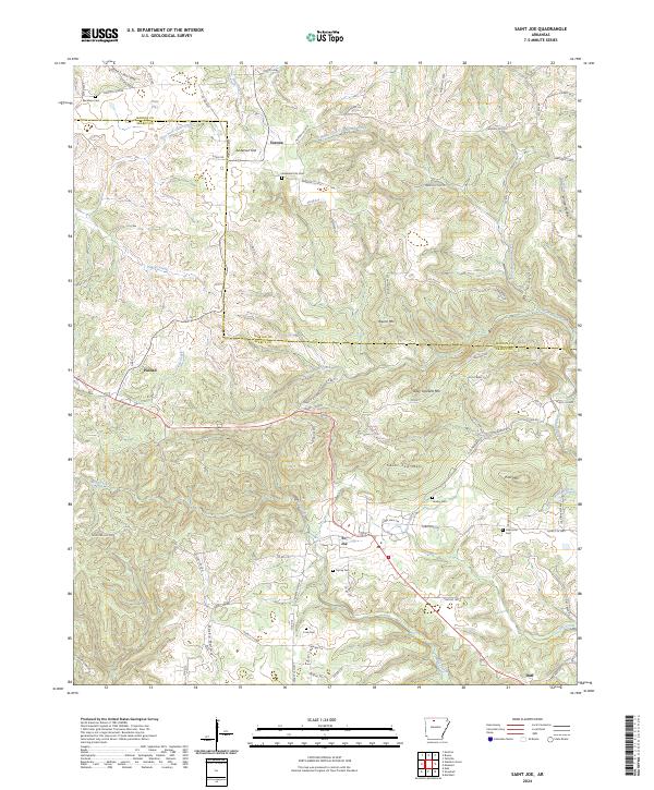
2024 Map of Saint Joe
USGS Topo · Published 2024About this map
St. Joe serves as a central hub in this Ozark landscape, situated south of the Marion Co Searcy Co line. The settlement pattern follows the local topography, with roads and dwellings clustered around prominent peaks like Davy Crockett Mtn and Saint Joe Mtn. The map reveals a high density of rural burial grounds, including Henley Cem, Osbourne Cem, and Tumey Cem, which suggest long-standing family ties to the land. To the northwest, the town of Pindall sits along the highway corridor, while smaller communities like Verona and Duff anchor the northern and southern reaches. Waterways such as Tomahawk Creek and the North Fork Tomahawk Creek carve through the terrain, defining the local drainage patterns. This contemporary survey provides a detailed view of the current road network, from established county routes to private lanes like Morris Farm Ln and Greenhaven Ln, illustrating how modern access mirrors the historic placement of upland flats and hollows.
Find a feature on this map
90 named features on this map. Tap any name to fly to it.
Don’t see what you’re looking for? This feature index may not catch every label — zoom into the map to look around manually.
Map Details
Editions of this 2024 Saint Joe Map
This is the sole edition of this map. No revisions or reprints were ever made.
Other maps of this area

1892 · Marshall
USGS Topo · 1:125,000

1893 · Yellville
USGS Topo · 1:125,000

1894 · Marshall
USGS Topo · 1:125,000

1901 · Marshall
USGS Topo · 1:125,000

1903 · Yellville
USGS Topo · 1:125,000

1905 · Yellville
USGS Topo · 1:125,000

1929 · Yellville
USGS Topo · 1:125,000

1939 · Snowball
USGS Topo · 1:62,500

1941 · Snowball
USGS Topo · 1:62,500

1942 · Snowball
USGS Topo · 1:62,500