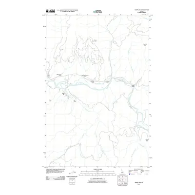
2011 Map of Saint Joe
USGS Topo · Published 2011About this map
The Saint Joe River valley defines the central corridor of this North Idaho landscape, where the settlements of Saint Joe and Ferrel sit along the winding riverbanks. The influence of the timber and transport era is etched into the topography through features like the Old Milwaukee Road RR, which tracks the river's northern bend. High-elevation points such as Honey Jones Peak and Fitzgerald Peak rise above the valley floor, while numerous tributary systems including Bond Creek and Day Creek drain the surrounding timberlands. Local place names like Wittenburg Draw, Gilson Draw, and Slaughterhouse Draw suggest a history of family homesteads and early industrial activity. The presence of Urquhart Lake and Urquhart Gulch near the river indicates the complex hydrology of this flood-prone valley before modern forestry roads like NFD 50 RD and Falls Creek Rd redefined access to the interior.
Find a feature on this map
41 named features on this map. Tap any name to fly to it.
Don’t see what you’re looking for? This feature index may not catch every label — zoom into the map to look around manually.
Map Details
Editions of this 2011 Saint Joe Map
This is the sole edition of this map. No revisions or reprints were ever made.
Other maps of this area

1950 · Rochat Peak
USGS Topo · 1:24,000

1950 · Twin Crags
USGS Topo · 1:24,000

1952 · Rochat Peak
USGS Topo · 1:24,000

1952 · Twin Crags
USGS Topo · 1:24,000

1955 · Spokane
USGS Topo · 1:250,000

1957 · Calder
USGS Topo · 1:62,500

1957 · St. Joe
USGS Topo · 1:62,500

1958 · Spokane
USGS Topo · 1:250,000

1961 · Fernwood
USGS Topo · 1:62,500

1969 · Huckleberry Mtn
USGS Topo · 1:24,000