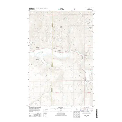
2013 Map of Saint Joe
USGS Topo · Published 2013About this map
The Saint Joe River dominates this northern Idaho landscape, carving through a region defined by steep draws and high summits. The small settlement of Saint Joe sits at a bend in the river, served by a network of local routes including Saint Joe City Rd and N. Grand Ave. Nearby, the map identifies the community of Ferrel and the waters of Urquhart Lake, providing a clear record of the area's geography along the Benewah and Shoshone County line.
Find a feature on this map
44 named features on this map. Tap any name to fly to it.
Don’t see what you’re looking for? This feature index may not catch every label — zoom into the map to look around manually.
Map Details
Editions of this 2013 Saint Joe Map
This is the sole edition of this map. No revisions or reprints were ever made.
Other maps of this area

1950 · Rochat Peak
USGS Topo · 1:24,000

1950 · Twin Crags
USGS Topo · 1:24,000

1952 · Rochat Peak
USGS Topo · 1:24,000

1952 · Twin Crags
USGS Topo · 1:24,000

1955 · Spokane
USGS Topo · 1:250,000

1957 · Calder
USGS Topo · 1:62,500

1957 · St. Joe
USGS Topo · 1:62,500

1958 · Spokane
USGS Topo · 1:250,000

1961 · Fernwood
USGS Topo · 1:62,500

1969 · Huckleberry Mtn
USGS Topo · 1:24,000