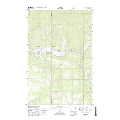
2017 Map of Saint Joe
USGS Topo · Published 2017About this map
Saint Joe serves as a central point along the meandering Saint Joe River, where the water transitions through a complex of wetlands including Urquhart Lake. The landscape is defined by its dramatic relief, moving from the river valley up toward prominent summits such as Honey Jones Peak and Fitzgerald Peak. A dense network of forest roads and trails, like Railroad Grade Rd and Sly Meadows Trl, suggests a history of timber access and mountain recreation. The boundary between Benewah and Shoshone counties cuts through the center of the survey, dividing the high ridges and deep drainages. Local nomenclature is deeply tied to the terrain, with numerous draws and gulches named for individuals, such as Urquhart Gulch and Browns Gulch, providing a detailed record of land use in this part of northern Idaho.
Find a feature on this map
47 named features on this map. Tap any name to fly to it.
Don’t see what you’re looking for? This feature index may not catch every label — zoom into the map to look around manually.
Map Details
Editions of this 2017 Saint Joe Map
This is the sole edition of this map. No revisions or reprints were ever made.
Other maps of this area

1950 · Rochat Peak
USGS Topo · 1:24,000

1950 · Twin Crags
USGS Topo · 1:24,000

1952 · Rochat Peak
USGS Topo · 1:24,000

1952 · Twin Crags
USGS Topo · 1:24,000

1955 · Spokane
USGS Topo · 1:250,000

1957 · Calder
USGS Topo · 1:62,500

1957 · St. Joe
USGS Topo · 1:62,500

1958 · Spokane
USGS Topo · 1:250,000

1961 · Fernwood
USGS Topo · 1:62,500

1969 · Huckleberry Mtn
USGS Topo · 1:24,000