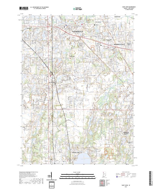
2022 Map of Saint John
USGS Topo · Published 2022About this map
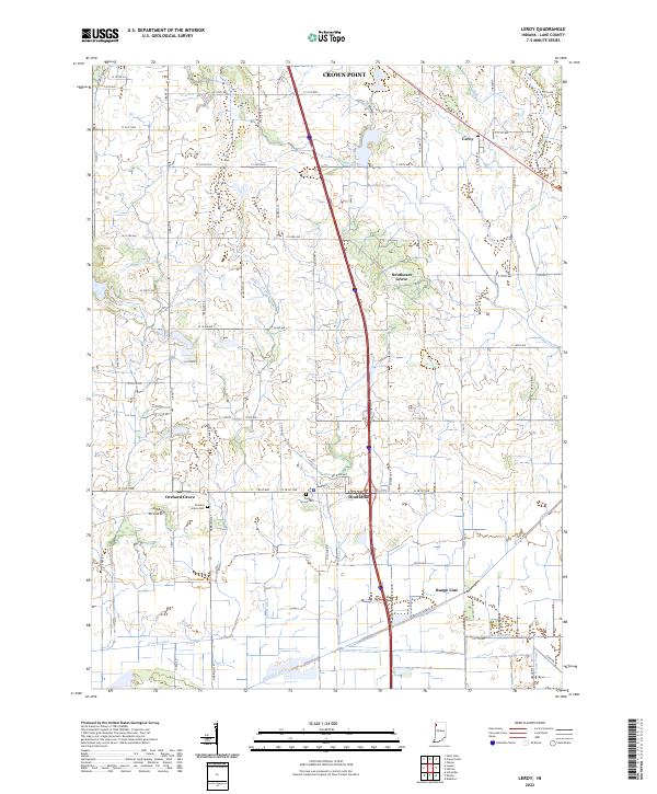
St. John and Schererville anchor this modern landscape in Lake County, where residential expansion increasingly integrates with industrial corridors and historic transportation routes. The map documents a dense network of suburban development stretching from Dyer in the west to the edges of Merrillville and Crown Point. Amidst this growth, the legacy of earlier eras remains visible through the preservation of several historic burial grounds, including the Hack Family Cem and Saint Michael's Cem. Old infrastructure is given new life as recreational corridors, notably the Pennsy Greenway Northwest Trl and Erie Lackawanna Trl, which follow former rail beds across the township. Natural drainage features such as West Cr and the Main Beaver Dam Ditch persist through the developed areas, providing a look at the original topography of this Northwestern Indiana region.
Find a feature on this map
45 named features on this map. Tap any name to fly to it.
Don’t see what you’re looking for? This feature index may not catch every label — zoom into the map to look around manually.
Map Details
Editions of this 2022 Saint John Map
This is the sole edition of this map. No revisions or reprints were ever made.
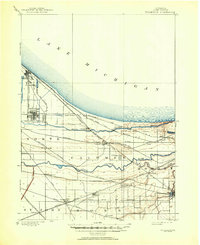
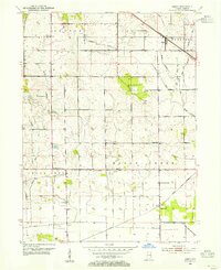
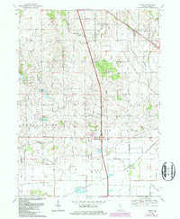
Historical Maps of Lincoln Village Through Time
7 maps found
Featured Locations
- Schererville, IN
- Cedar Lake, IN
- Crown Point, Center Township
- Merrillville, Ross Township
- Griffith, North Township