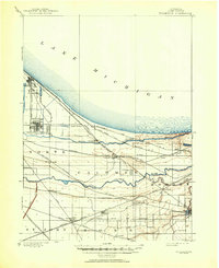
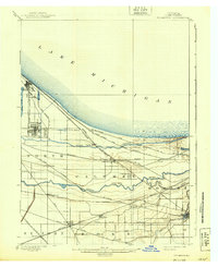
1900 Map of Tolleston
USGS Topo · Published 1951About this map
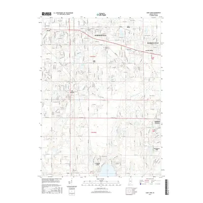
The southern shoreline of Lake Michigan dominates this turn-of-the-century survey, revealing a Northwest Indiana landscape in the midst of rapid industrial and transit expansion. The complex hydrology of the Calumet region is visible through the parallel courses of the Grand Calumet River and Little Calumet River, which flank the early urban centers of Whiting and East Chicago. While much of the land remains marshy or divided into sectioned townships, the massive footprint of the American railroad era is unmistakable. Dozens of rail lines, including the Elgin Joliet and Eastern R. R. and the Chicago Terminal Transfer R. R., crisscross the terrain to serve growing hubs like Tolleston and Clarke Station. Further south, the map documents smaller interior settlements such as Highland, Griffith, and Hobart before the major suburban sprawl of the late 20th century, offering a look at the area's original township boundaries and drainage networks like Hart Ditch.
Find a feature on this map
41 named features on this map. Tap any name to fly to it.
Don’t see what you’re looking for? This feature index may not catch every label — zoom into the map to look around manually.
Map Details
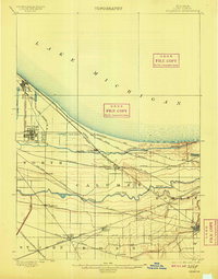
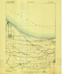
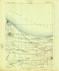
Editions of this 1900 Tolleston Map
6 editions found

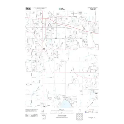
Historical Maps of Hammond Through Time
19 maps found
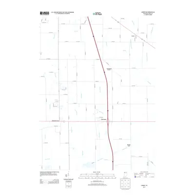
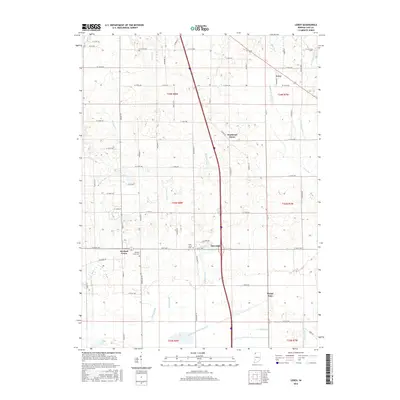
1900 Tolleston
Lake County, IN
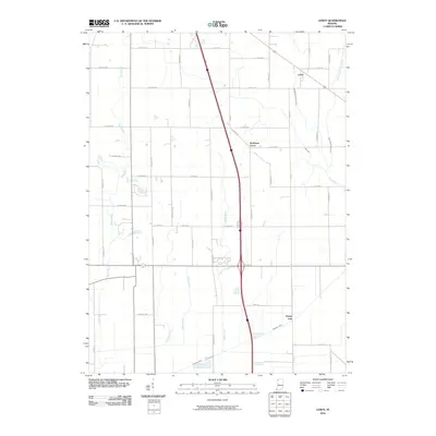
1953 Leroy
Lake County, IN
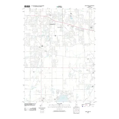
1969 Leroy
Lake County, IN
1992 Leroy
Lake County, IN
2010 Leroy
Lake County, IN
2010 Saint John
Lake County, IN
2011 Gary OE N
Lake County, IN
2013 Gary OE N
Lake County, IN
2013 Leroy
Lake County, IN
2013 Saint John
Lake County, IN
2016 Gary OE N
Lake County, IN
2016 Leroy
Lake County, IN
2016 Saint John
Lake County, IN
2019 Gary OE N
Lake County, IN
2019 Leroy
Lake County, IN
2019 Saint John
Lake County, IN
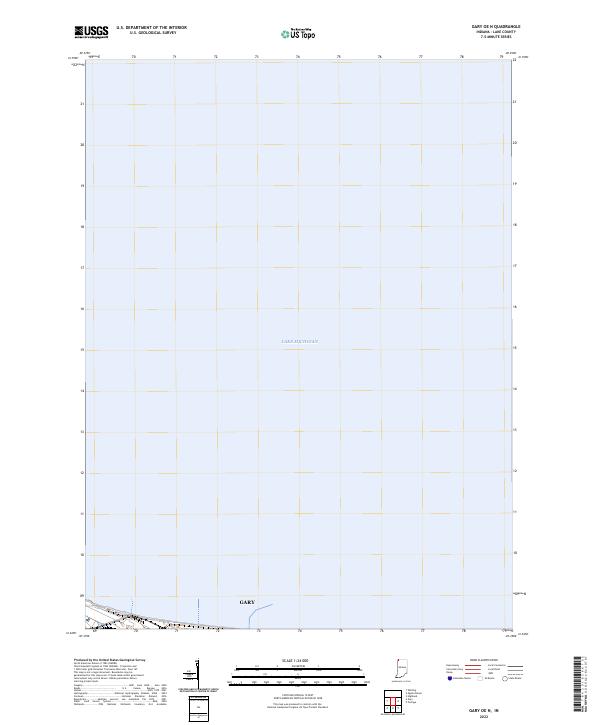
2022 Gary OE N
Lake County, IN
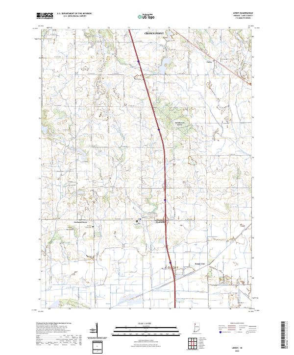
2022 Leroy
Lake County, IN
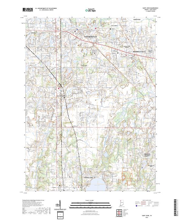
2022 Saint John
Lake County, IN