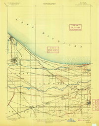
1900 Map of Toleston
USGS Topo · Published 1909About this map
Industrial expansion and rail infrastructure dominate this Lake County landscape at the beginning of the 20th century. The intricate web of the Elgin Joliet And Eastern R. R. and the Chicago Terminal Transfer R. R. cross-cuts the marshes and dunes of the southern shore of Lake Michigan. While early industrial centers like Whiting and East Chicago are established along the shoreline, the interior remains a complex network of wetlands and waterways. The parallel courses of the Grand Calumet River and Little Calumet River define the local topography, with settlements such as Toleston and Clarke Station serving as vital junctions for the numerous trunk lines moving freight toward Chicago. Genealogists will find the early footprints of towns like Highland, Griffith, and Hobart before decades of suburban growth altered the region.
Find a feature on this map
41 named features on this map. Tap any name to fly to it.
Don’t see what you’re looking for? This feature index may not catch every label — zoom into the map to look around manually.
Map Details
Editions of this 1900 Toleston Map
6 editions found

Historical Maps of Hammond Through Time
19 maps found
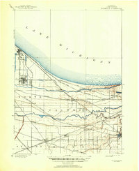
1900 Tolleston
Lake County, IN
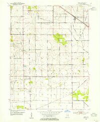
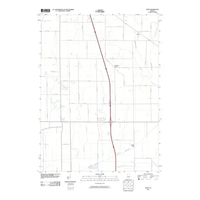
1953 Leroy
Lake County, IN
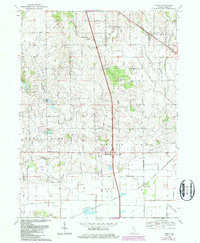
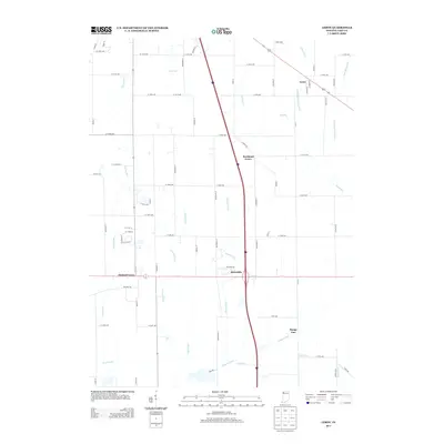
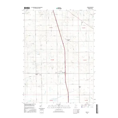
1969 Leroy
Lake County, IN
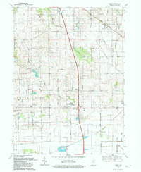
1992 Leroy
Lake County, IN
2010 Leroy
Lake County, IN
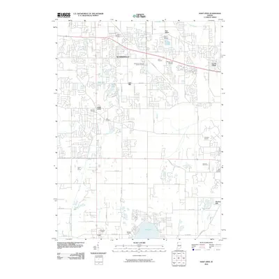
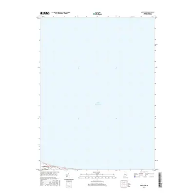
2010 Saint John
Lake County, IN
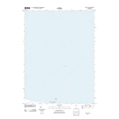
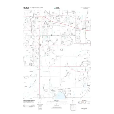
2011 Gary OE N
Lake County, IN

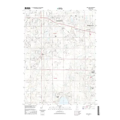
2013 Gary OE N
Lake County, IN
2013 Leroy
Lake County, IN
2013 Saint John
Lake County, IN
2016 Gary OE N
Lake County, IN
2016 Leroy
Lake County, IN
2016 Saint John
Lake County, IN
2019 Gary OE N
Lake County, IN
2019 Leroy
Lake County, IN
2019 Saint John
Lake County, IN
2022 Gary OE N
Lake County, IN
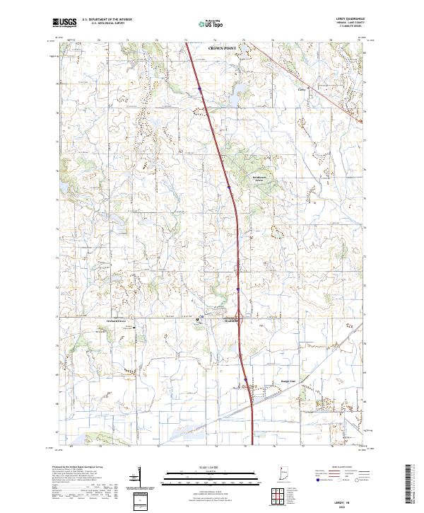
2022 Leroy
Lake County, IN
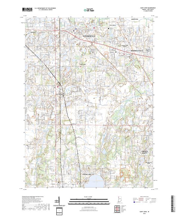
2022 Saint John
Lake County, IN