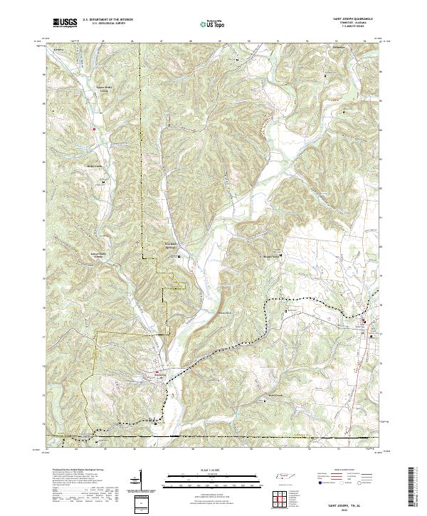
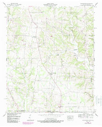
2022 Map of Saint Joseph
USGS Topo · Published 2022About this map
Shoal Creek carves a winding path through the borderlands of Tennessee and Alabama, anchoring a landscape defined by small settlements and family burial grounds. The community of Iron City serves as a central hub, situated near Big Spring and the Iron City Spring, reflecting a geography where natural water sources dictated early settlement patterns. To the east, Saint Joseph sits near the state line, marked by the Saint Joseph Catholic Cem and a concentration of residential streets. The terrain is deeply incised by numerous hollows, such as Prince Hollow and Tidwell Hollow, which once guided the development of local roads like Wayland Springs Rd and Railroad Bed Rd. Genealogists will find a high density of small cemeteries, including Chinubee Cem and Wolf Creek Cem, which remain as quiet indicators of the area's rural ancestry.
Find a feature on this map
109 named features on this map. Tap any name to fly to it.
Don’t see what you’re looking for? This feature index may not catch every label — zoom into the map to look around manually.
Map Details
Editions of this 2022 Saint Joseph Map
This is the sole edition of this map. No revisions or reprints were ever made.
Historical Maps of Upper Holly Creek Through Time
17 maps found
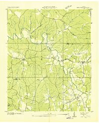
1936 Bonnertown
Lawrence County, TN
1936 Crestview
Lawrence County, TN
1936 Deerfield
Lawrence County, TN
1936 Henryville
Lawrence County, TN
1936 Long Branch
Lawrence County, TN
1936 Ovilla
Lawrence County, TN
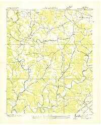
1950 Bonnertown
Lawrence County, TN
1950 Deerfield
Lawrence County, TN
1951 Henryville
Lawrence County, TN
1951 Long Branch
Lawrence County, TN
1951 Ovilla
Lawrence County, TN
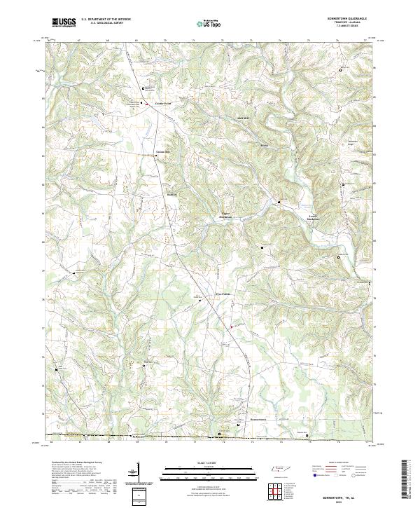
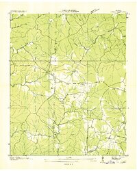
2022 Bonnertown
Lawrence County, TN
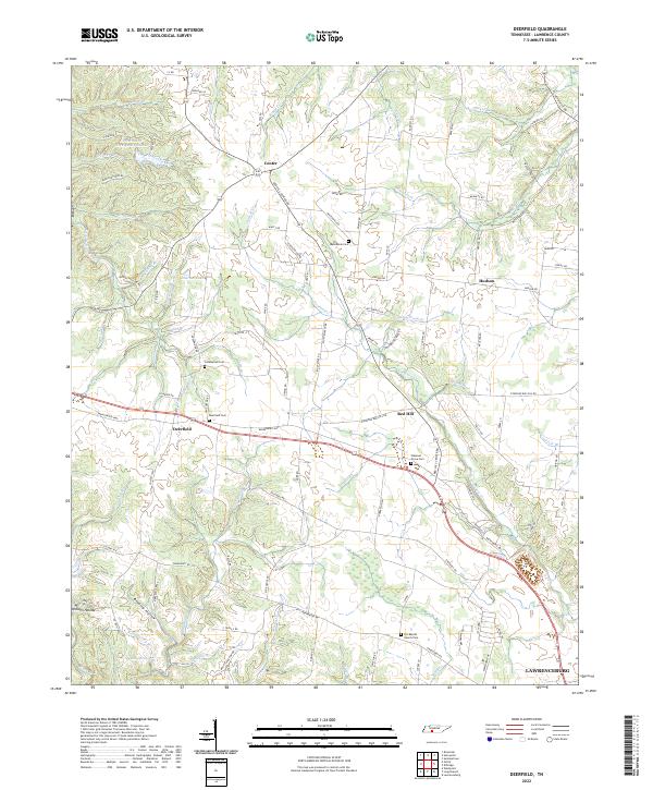
2022 Deerfield
Lawrence County, TN
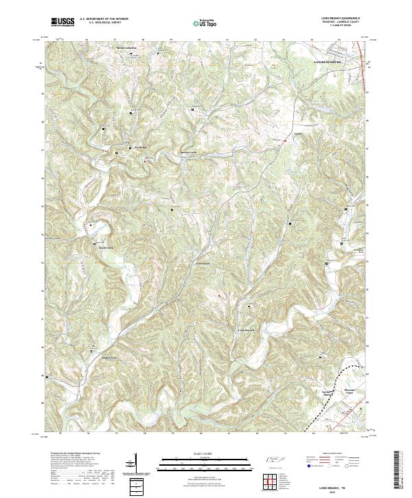
2022 Long Branch
Lawrence County, TN
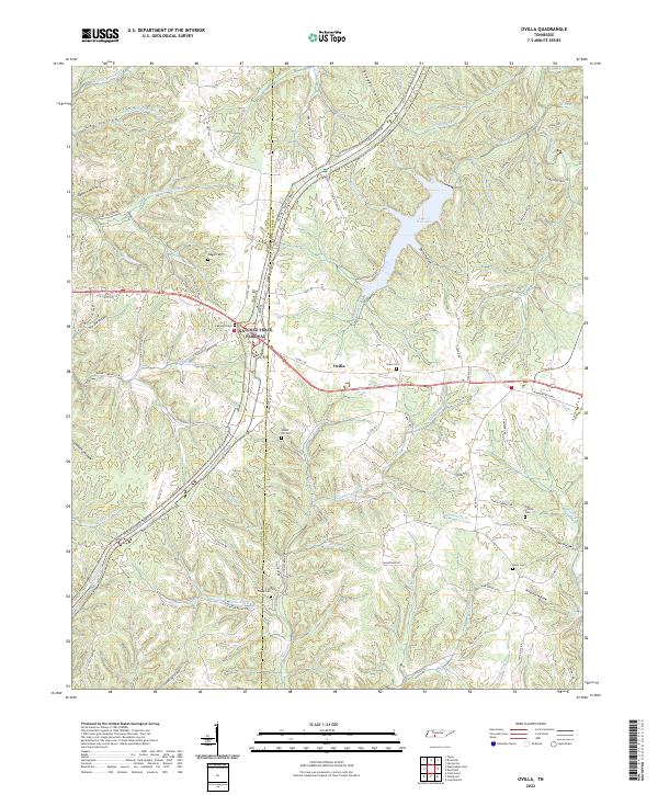
2022 Ovilla
Lawrence County, TN
2022 Saint Joseph
Lawrence County, TN
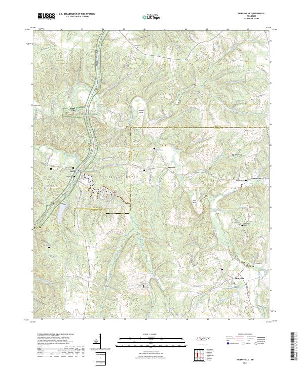
2023 Henryville
Lawrence County, TN