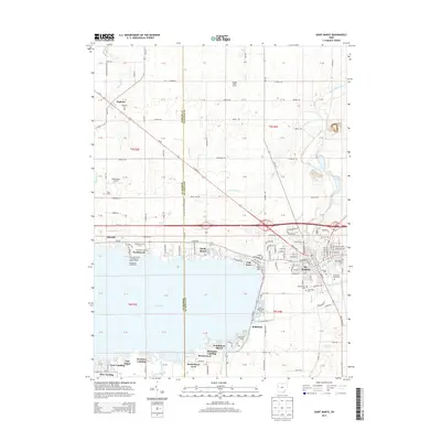
2013 Map of Saint Marys
USGS Topo · Published 2013About this map
The northeastern shores of Grand Lake and the winding course of the Saint Marys River define this corner of Auglaize County. The city of St. Marys serves as the central hub, where the Celina Main Street Commercial Historic District anchors the local heritage. Along the waterfront, a dense network of residential developments and recreational points has emerged, including Northwood, Sandy Beach, and Villa Nova. The map detail reveals the importance of the lake to the local economy and culture, evidenced by the Northwood Marina, the Northwood Lighthouse, and the Saint Marys Marina.
Find a feature on this map
133 named features on this map. Tap any name to fly to it.
Don’t see what you’re looking for? This feature index may not catch every label — zoom into the map to look around manually.
Map Details
Editions of this 2013 Saint Marys Map
This is the sole edition of this map. No revisions or reprints were ever made.
Other maps of this area

1908 · St. Henry
USGS Topo · 1:62,500

1909 · Loramie
USGS Topo · 1:62,500

1911 · Loramie
USGS Topo · 1:62,500

1911 · Spencerville
USGS Topo · 1:62,500

1914 · Celina
USGS Topo · 1:62,500

1944 · Loramie
USGS Topo · 1:62,500

1944 · Celina
USGS Topo · 1:62,500

1944 · Spencerville
USGS Topo · 1:62,500

1953 · Muncie
USGS Topo · 1:250,000

1956 · Muncie
USGS Topo · 1:250,000