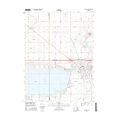
2016 Map of Saint Marys
USGS Topo · Published 2016About this map
The city of Saint Marys serves as the focal point for this survey, situated at the northeastern corner of the expansive Grand Lake. The map reveals a densely developed street grid in the city core, where numerous historic burial grounds such as Old Saint Marys Cem and Gethsemane Cem are documented alongside the Saint Marys River. To the west, the landscape transitions into systematic agricultural plots of the Ohio countryside, dotted with smaller communities like Neptune and lakefront developments at Villa Nova and Bulkhead.
Find a feature on this map
146 named features on this map. Tap any name to fly to it.
Don’t see what you’re looking for? This feature index may not catch every label — zoom into the map to look around manually.
Map Details
Editions of this 2016 Saint Marys Map
This is the sole edition of this map. No revisions or reprints were ever made.
Other maps of this area

1908 · St. Henry
USGS Topo · 1:62,500

1909 · Loramie
USGS Topo · 1:62,500

1911 · Loramie
USGS Topo · 1:62,500

1911 · Spencerville
USGS Topo · 1:62,500

1914 · Celina
USGS Topo · 1:62,500

1944 · Loramie
USGS Topo · 1:62,500

1944 · Celina
USGS Topo · 1:62,500

1944 · Spencerville
USGS Topo · 1:62,500

1953 · Muncie
USGS Topo · 1:250,000

1956 · Muncie
USGS Topo · 1:250,000