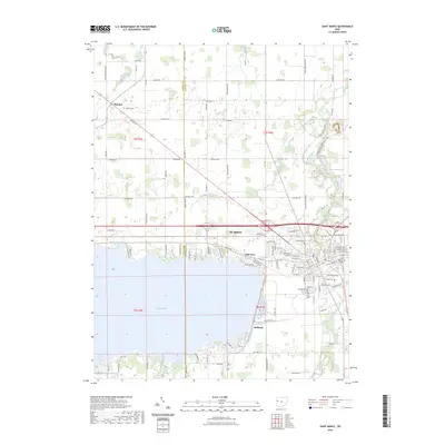
2023 Map of Saint Marys
USGS Topo · Published 2023About this map
St. Marys and the northern shores of Grand Lake anchor this topographic survey of the Mercer and Auglaize County border. The landscape is defined by the legacy of early nineteenth-century engineering, notably the Miami & Erie Canal St and the Saint Marys River, which historically connected this region to broader trade networks. Modern infrastructure like US Rte 33 now bisects the terrain, yet the area maintains a high concentration of genealogical sites, including the Old Catholic Cem, Elm Grove Cem, and Murray Cem. Smaller clusters of settlement such as Neptune, Villa Nova, and Bulkhead provide evidence of the area's development around the reservoir and waterway. The map also traces the North Country National Scenic Trl as it follows the historical canal corridor through the city center.
Find a feature on this map
109 named features on this map. Tap any name to fly to it.
Don’t see what you’re looking for? This feature index may not catch every label — zoom into the map to look around manually.
Map Details
Editions of this 2023 Saint Marys Map
This is the sole edition of this map. No revisions or reprints were ever made.
Other maps of this area

1908 · St. Henry
USGS Topo · 1:62,500

1909 · Loramie
USGS Topo · 1:62,500

1911 · Loramie
USGS Topo · 1:62,500

1911 · Spencerville
USGS Topo · 1:62,500

1914 · Celina
USGS Topo · 1:62,500

1944 · Loramie
USGS Topo · 1:62,500

1944 · Celina
USGS Topo · 1:62,500

1944 · Spencerville
USGS Topo · 1:62,500

1953 · Muncie
USGS Topo · 1:250,000

1956 · Muncie
USGS Topo · 1:250,000