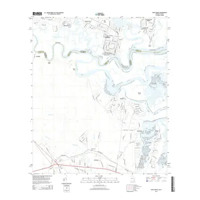
2014 Map of Saint Marys
USGS Topo · Published 2014About this map
The St. Marys waterfront and its surrounding coastal marshlands define this 2014 survey along the Georgia-Florida border. As a gateway to the Cumberland Island National Seashore, the area shows a distinct pattern of historical settlements and modern expansion, from the established grid of the city to newer residential developments like Shadowland and Cypress Lake Estates. To the south, across the Saint Marys River in Florida, the community of Yulee and the village of Chester sit among the wetlands of the Bells River. Family-named landmarks such as Millers Bluff, Reids Bluff, and Roses Bluff mark the high ground along the winding riverbanks. Genealogists will find several burial grounds noted, including Oak Grove Cem in town and the more rural Higginbotham Cem and Yulee Cem to the south.
Find a feature on this map
157 named features on this map. Tap any name to fly to it.
Don’t see what you’re looking for? This feature index may not catch every label — zoom into the map to look around manually.
Map Details
Editions of this 2014 Saint Marys Map
This is the sole edition of this map. No revisions or reprints were ever made.
Other maps of this area

1918 · St Marys
USGS Topo · 1:62,500

1918 · Cumberland Island
USGS Topo · 1:62,500

1918 · Kingsland
USGS Topo · 1:62,500

1919 · Fernandina
USGS Topo · 1:62,500

1919 · St Marys
USGS Topo · 1:62,500

1930 · Cumberland Island
USGS Topo · 1:62,500

1944 · Fernandina
USGS Topo · 1:62,500

1945 · Cumberland Island
USGS Topo · 1:62,500

1948 · Jacksonville
USGS Topo · 1:250,000

1957 · Jacksonville
USGS Topo · 1:250,000