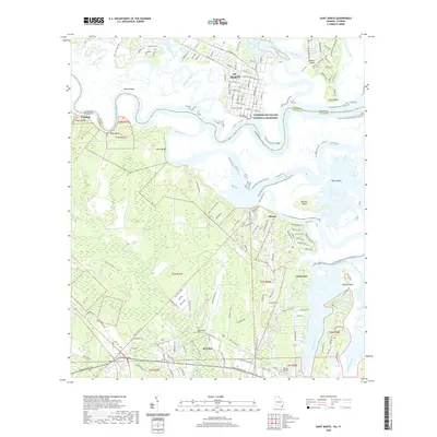
2020 Map of Saint Marys
USGS Topo · Published 2020About this map
St. Marys sits at the northern edge of this coastal landscape, where the Saint Marys River meanders toward the Atlantic through a complex network of marshy islands and tidal creeks. The map shows the historic town center with its grid of streets including Ashley St W and Church St W, alongside the Oak Grove Cem. Across the river in Florida, the settlement of Yulee serves as a transportation hub, anchored by the Nassau Airport and the intersection of The Buccaneer Trl and N Ocean Blvd.
Find a feature on this map
70 named features on this map. Tap any name to fly to it.
Don’t see what you’re looking for? This feature index may not catch every label — zoom into the map to look around manually.
Map Details
Editions of this 2020 Saint Marys Map
This is the sole edition of this map. No revisions or reprints were ever made.
Other maps of this area

1918 · St Marys
USGS Topo · 1:62,500

1918 · Cumberland Island
USGS Topo · 1:62,500

1918 · Kingsland
USGS Topo · 1:62,500

1919 · Fernandina
USGS Topo · 1:62,500

1919 · St Marys
USGS Topo · 1:62,500

1930 · Cumberland Island
USGS Topo · 1:62,500

1944 · Fernandina
USGS Topo · 1:62,500

1945 · Cumberland Island
USGS Topo · 1:62,500

1948 · Jacksonville
USGS Topo · 1:250,000

1957 · Jacksonville
USGS Topo · 1:250,000