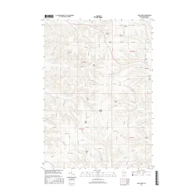
2016 Map of Saint Marys
USGS Topo · Published 2016About this map
Saint Marys and the village of Norwalk anchor this section of Monroe County, where the topography is defined by prominent landforms like Saint Marys Ridge and Summit Ridge. The landscape is a network of coulees and valleys, including Farmers Valley, Halls Valley, and Lyon Valley, each carved by small waterways such as Farmers Valley Cr and Brush Cr. A notable engineering landmark, the Number Three Tunnel, is situated near the northern ridge line, indicating the historical path of transportation through these steep elevation changes.
Find a feature on this map
77 named features on this map. Tap any name to fly to it.
Don’t see what you’re looking for? This feature index may not catch every label — zoom into the map to look around manually.
Map Details
Editions of this 2016 Saint Marys Map
This is the sole edition of this map. No revisions or reprints were ever made.
Other maps of this area

1909 · Sparta
USGS Topo · 1:62,500

1916 · Tomah
USGS Topo · 1:62,500

1923 · Viroqua
USGS Topo · 1:62,500

1926 · Viroqua
USGS Topo · 1:62,500

1926 · La Farge
USGS Topo · 1:62,500

1947 · Sparta
USGS Topo · 1:62,500

1949 · Sparta
USGS Topo · 1:62,500

1949 · Tomah
USGS Topo · 1:62,500

1958 · La Crosse
USGS Topo · 1:250,000

1961 · La Crosse
USGS Topo · 1:250,000