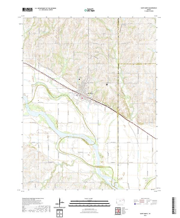
2022 Map of Saint Marys
USGS Topo · Published 2022About this map
St. Marys sits at a geographic crossroads in northern Kansas, where the winding Kansas River meets a network of historic overland routes. The local topography is defined by the convergence of several major drainages, including Deep Cr, Riley Cr, and Doyle Cr, which carve through the terrain before reaching the river valley. A significant cultural marker is the presence of Oregon Trail Rd, a modern reflection of the historic corridor that once brought thousands of pioneers through this region.
Find a feature on this map
87 named features on this map. Tap any name to fly to it.
Don’t see what you’re looking for? This feature index may not catch every label — zoom into the map to look around manually.
Map Details
Editions of this 2022 Saint Marys Map
This is the sole edition of this map. No revisions or reprints were ever made.
Historical Maps of Rossville Township Through Time
18 maps found
1953 St George
Pottawatomie County, KS
1953 St Marys
Pottawatomie County, KS
1964 Flush
Pottawatomie County, KS
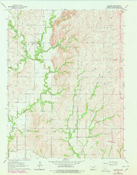
1964 Laclede
Pottawatomie County, KS
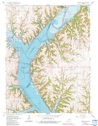
1964 Olsburg NW
Pottawatomie County, KS
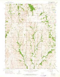
1964 Onaga NE
Pottawatomie County, KS
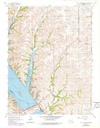
1964 Tuttle Creek Dam
Pottawatomie County, KS
1964 Westmoreland NE
Pottawatomie County, KS
1969 Duluth
Pottawatomie County, KS
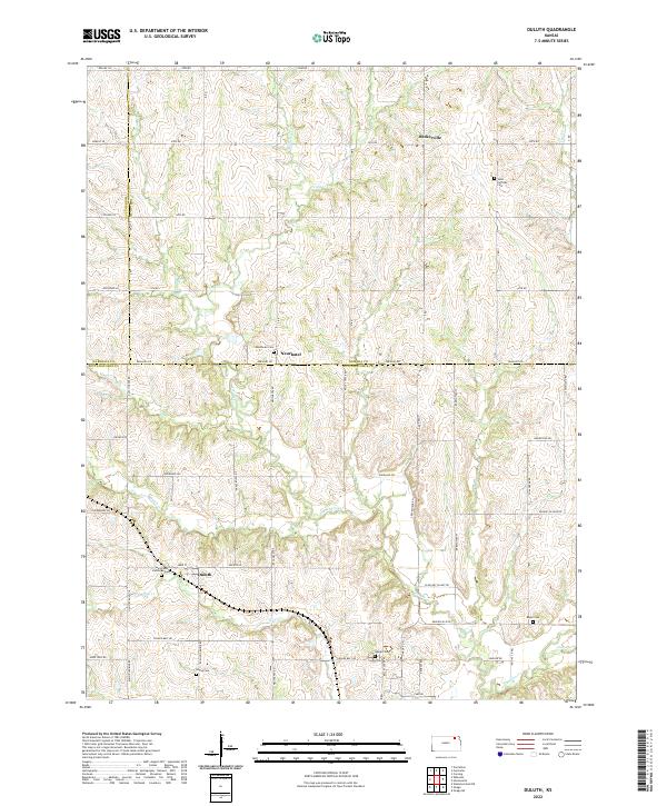
2022 Duluth
Pottawatomie County, KS
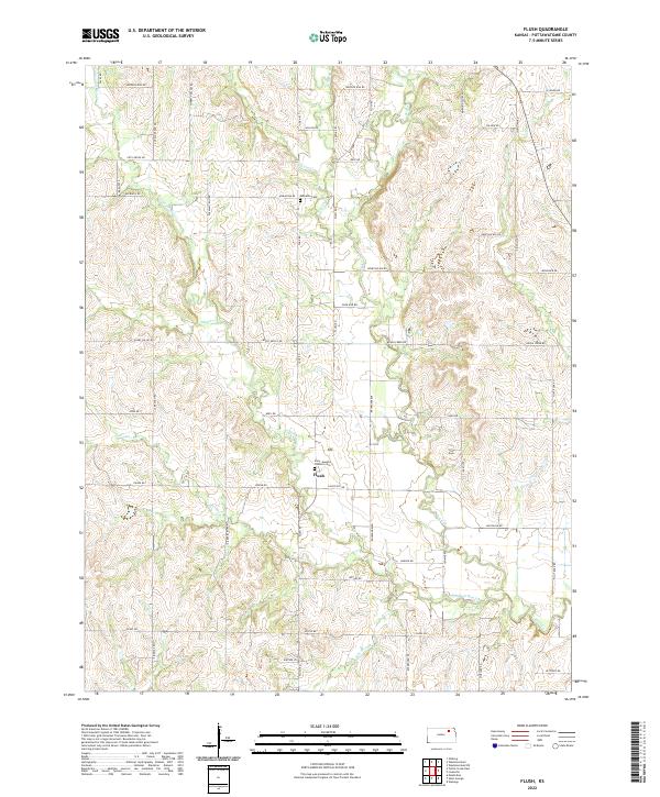
2022 Flush
Pottawatomie County, KS
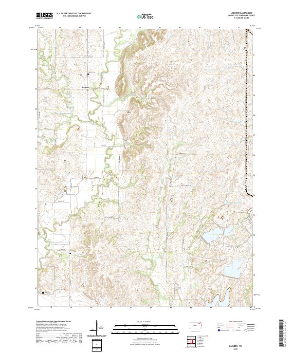
2022 Laclede
Pottawatomie County, KS
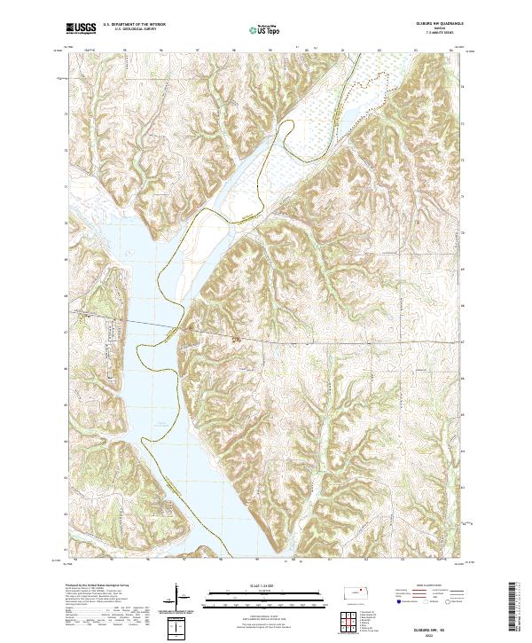
2022 Olsburg NW
Pottawatomie County, KS
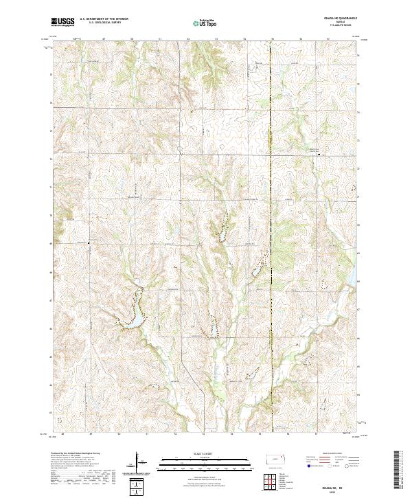
2022 Onaga NE
Pottawatomie County, KS
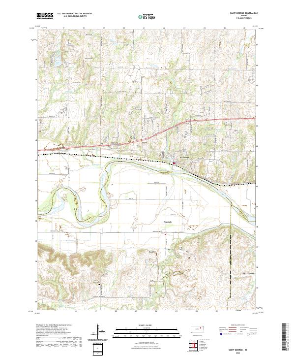
2022 Saint George
Pottawatomie County, KS
2022 Saint Marys
Pottawatomie County, KS
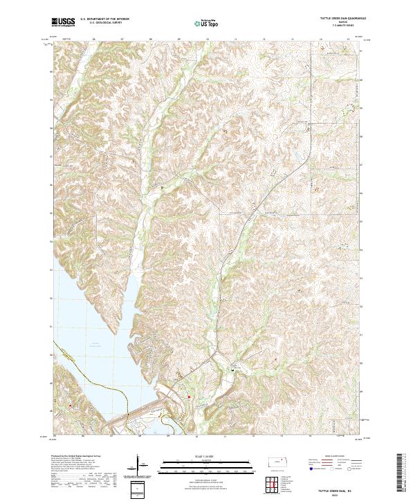
2022 Tuttle Creek Dam
Pottawatomie County, KS
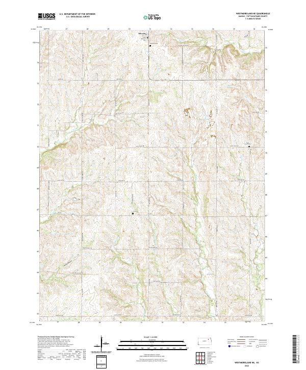
2022 Westmoreland NE
Pottawatomie County, KS