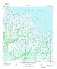
1952 Map of Saint Michael A-4
USGS Topo · Published 1974About this map
The coastal marshes and intricate waterways of the Yukon-Kuskokwim Delta dominate this 1952 topographic record. The settlement of Kotlik serves as the focal point, situated at the confluence of several sloughs and the Little Kotlik River. The landscape is a labyrinth of distributary channels, where Apoon Pass and Okwega Pass provide vital navigation routes through the Clarence Rhode National Wildlife Range.
Find a feature on this map
23 named features on this map. Tap any name to fly to it.
Don’t see what you’re looking for? This feature index may not catch every label — zoom into the map to look around manually.
Map Details
Editions of this 1952 Saint Michael A-4 Map
2 editions found
Other maps of this area

1951 · St Michael
USGS Topo · 1:250,000

1952 · Kwiguk
USGS Topo · 1:250,000

1952 · Saint Michael A-5
USGS Topo · 1:63,360
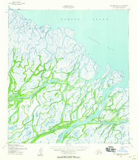
1952 · Saint Michael A-4
USGS Topo · 1:63,360

1952 · Kwiguk D-3
USGS Topo · 1:63,360
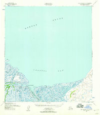
1952 · Saint Michael A-3
USGS Topo · 1:63,360

1952 · Kwiguk D-5
USGS Topo · 1:63,360

1952 · Kwiguk D-4
USGS Topo · 1:63,360

1952 · St Michael
USGS Topo · 1:250,000

1964 · St. Michael
USGS Topo · 1:250,000