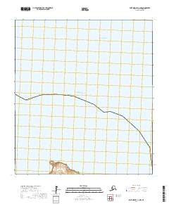
2017 Map of Saint Michael C-1 NW
USGS Topo · Published 2017About this map
Norton Sound dominates this coastal landscape, where the waters of the Pacific Ocean meet the southern edge of the Nome Census Area. The map focuses primarily on open water and the remote maritime boundary of the Seward Peninsula region. A small landform in the south, North Point, provides a rare terrestrial anchor on the edge of North Bay, illustrating the sparse and isolated nature of the shoreline here. The absence of roads or settlements emphasizes the wilderness character of the territory within the public land survey sections of t21s r19w and t21s r20w, where the terrain is defined almost entirely by its relationship with the sea.
Find a feature on this map
8 named features on this map. Tap any name to fly to it.
Don’t see what you’re looking for? This feature index may not catch every label — zoom into the map to look around manually.
Map Details
Editions of this 2017 Saint Michael C-1 NW Map
This is the sole edition of this map. No revisions or reprints were ever made.
Other maps of this area

1951 · St Michael
USGS Topo · 1:250,000
1952 · Saint Michael C-1
USGS Topo · 1:63,360
1952 · Saint Michael C-2
USGS Topo · 1:63,360

1952 · St Michael
USGS Topo · 1:250,000

1964 · St. Michael
USGS Topo · 1:250,000
2017 · Saint Michael C-2 SE
USGS Topo · 1:25,000
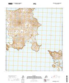
2017 · Saint Michael C-1 SW
USGS Topo · 1:25,000
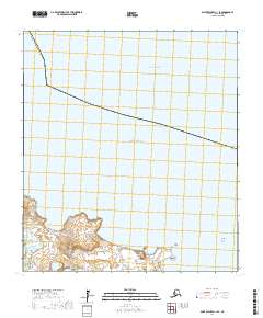
2017 · Saint Michael C-1 SE
USGS Topo · 1:25,000
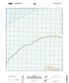
2017 · Saint Michael C-2 NE
USGS Topo · 1:25,000