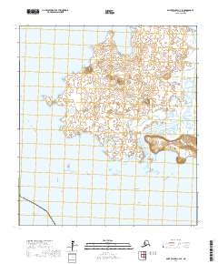
2017 Map of Saint Michael C-2 SE
USGS Topo · Published 2017About this map
Stuart Island dominates this sub-arctic coastal landscape, separated from the Alaskan mainland by the narrow Stuart Island Canal. The island's geography is defined by low-lying wetlands punctuated by occasional elevations such as West Hill, while the coastline is marked by distinct features like Hunting Point on its western edge. This 2017 survey illustrates the intricate network of small ponds and tidal inlets that characterize the island's interior, providing a detailed record of the shifting boundary between land and water in the Norton Sound region.
Find a feature on this map
14 named features on this map. Tap any name to fly to it.
Don’t see what you’re looking for? This feature index may not catch every label — zoom into the map to look around manually.
Map Details
Editions of this 2017 Saint Michael C-2 SE Map
This is the sole edition of this map. No revisions or reprints were ever made.
Other maps of this area

1951 · St Michael
USGS Topo · 1:250,000
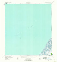
1952 · Saint Michael B-2
USGS Topo · 1:63,360
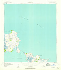
1952 · Saint Michael C-1
USGS Topo · 1:63,360
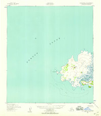
1952 · Saint Michael C-2
USGS Topo · 1:63,360

1952 · Saint Michael B-1
USGS Topo · 1:63,360

1952 · St Michael
USGS Topo · 1:250,000

1964 · St. Michael
USGS Topo · 1:250,000
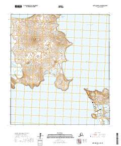
2017 · Saint Michael C-1 SW
USGS Topo · 1:25,000
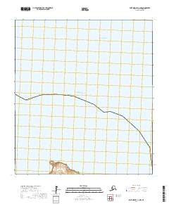
2017 · Saint Michael C-1 NW
USGS Topo · 1:25,000
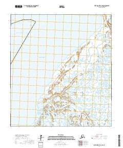
2017 · Saint Michael B-1 NW
USGS Topo · 1:25,000