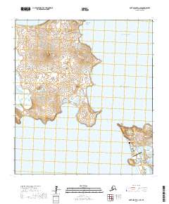
2017 Map of Saint Michael C-1 SW
USGS Topo · Published 2017About this map
Stuart Island dominates the northern reaches of this coastal map, separated from the mainland by the narrow Stuart Island Canal. The terrain is defined by low volcanic elevations like Stuart Mtn and strategic lookouts such as Observation Point. Along the southern shoreline of Norton Sound, the village of Stebbins sits near the base of Stephens Hill, serving as a primary hub for this subarctic coastal landscape. This 2017 survey shows the proximity of modern infrastructure to traditional sites, including the Stebbins Airport and the local Stebbins Cem. Transportation in this area is localized, anchored by the Stebbins Saint Michael Road and the Landfill Access Rd, reflecting the remote coastal character of the Pacific Ocean periphery at Cape Stephens.
Find a feature on this map
20 named features on this map. Tap any name to fly to it.
Don’t see what you’re looking for? This feature index may not catch every label — zoom into the map to look around manually.
Map Details
Editions of this 2017 Saint Michael C-1 SW Map
This is the sole edition of this map. No revisions or reprints were ever made.
Other maps of this area

1951 · St Michael
USGS Topo · 1:250,000
1952 · Saint Michael B-2
USGS Topo · 1:63,360
1952 · Saint Michael C-1
USGS Topo · 1:63,360
1952 · Saint Michael C-2
USGS Topo · 1:63,360

1952 · Saint Michael B-1
USGS Topo · 1:63,360

1952 · St Michael
USGS Topo · 1:250,000

1964 · St. Michael
USGS Topo · 1:250,000
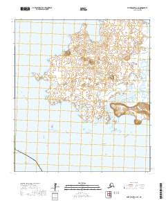
2017 · Saint Michael C-2 SE
USGS Topo · 1:25,000
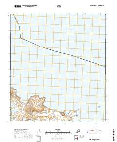
2017 · Saint Michael C-1 SE
USGS Topo · 1:25,000
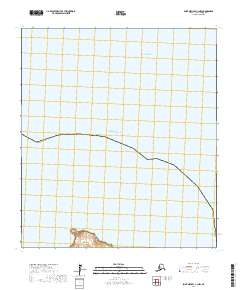
2017 · Saint Michael C-1 NW
USGS Topo · 1:25,000