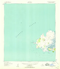
1952 Map of Saint Michael C-2
USGS Topo · Published 1958About this map
Stuart Island dominates the southeastern quadrant of this maritime survey, separated from the Alaskan mainland by the narrow Stuart Island Canal. The island's topography is defined by West Hill, which rises above a landscape of marshy lowlands and coastal features. In the mid-twentieth century, human presence was limited to a solitary Cabin and a Tower located near Hunting Point, suggesting a seasonal or specialized use of the land rather than a permanent settlement. The surrounding waters of Norton Sound are characterized by hazards such as the Stuart Island Reef and a significant Shoal off the western coast. On the northeastern edge of the island, North Bay provides a natural indentation in the shoreline, while the interior is marked by numerous small water bodies and drainage patterns typical of this subarctic environment.
Find a feature on this map
10 named features on this map. Tap any name to fly to it.
Don’t see what you’re looking for? This feature index may not catch every label — zoom into the map to look around manually.
Map Details
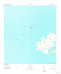
Editions of this 1952 Saint Michael C-2 Map
2 editions found
Other maps of this area

1951 · St Michael
USGS Topo · 1:250,000
1952 · Saint Michael B-2
USGS Topo · 1:63,360
1952 · Saint Michael C-1
USGS Topo · 1:63,360

1952 · Saint Michael B-1
USGS Topo · 1:63,360

1952 · St Michael
USGS Topo · 1:250,000

1964 · St. Michael
USGS Topo · 1:250,000
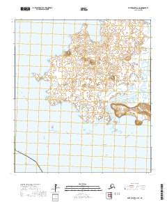
2017 · Saint Michael C-2 SE
USGS Topo · 1:25,000
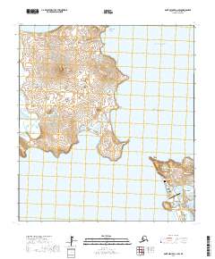
2017 · Saint Michael C-1 SW
USGS Topo · 1:25,000
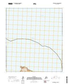
2017 · Saint Michael C-1 NW
USGS Topo · 1:25,000
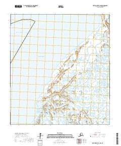
2017 · Saint Michael B-1 NW
USGS Topo · 1:25,000