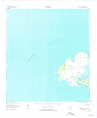
1952 Map of Saint Michael C-2
USGS Topo · Published 1975About this map
Stuart Island dominates this mid-century survey of the waters off the Alaska coast, surrounded by the expanse of Norton Sound. The island's geography is defined by a sparse but functional human presence, including a Cabin and a navigational Light positioned near Hunting Point. The interior landscape rises toward West Hill, which is marked by the Vabm 393 geodetic station. Along the eastern edge, the complex hydrology of the island is revealed through features like North Bay and the Stuart Island Canal, which separates the main landmass from smaller unnamed coastal bars. This 1950s documentation, later updated in the 1970s, captures a remote maritime environment where survival and navigation rely on these few named landmarks and natural shelters.
Find a feature on this map
10 named features on this map. Tap any name to fly to it.
Don’t see what you’re looking for? This feature index may not catch every label — zoom into the map to look around manually.
Map Details
Editions of this 1952 Saint Michael C-2 Map
2 editions found
Other maps of this area

1951 · St Michael
USGS Topo · 1:250,000
1952 · Saint Michael B-2
USGS Topo · 1:63,360
1952 · Saint Michael C-1
USGS Topo · 1:63,360
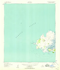
1952 · Saint Michael C-2
USGS Topo · 1:63,360

1952 · Saint Michael B-1
USGS Topo · 1:63,360

1952 · St Michael
USGS Topo · 1:250,000

1964 · St. Michael
USGS Topo · 1:250,000
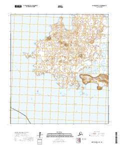
2017 · Saint Michael C-2 SE
USGS Topo · 1:25,000
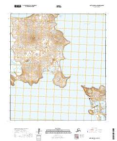
2017 · Saint Michael C-1 SW
USGS Topo · 1:25,000
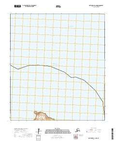
2017 · Saint Michael C-1 NW
USGS Topo · 1:25,000