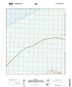
2017 Map of Saint Michael C-2 NE
USGS Topo · Published 2017About this map
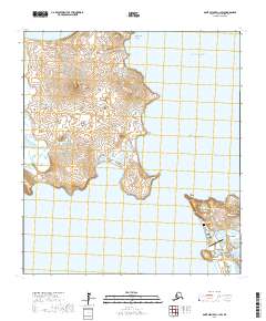
Norton Sound and the Pacific Ocean dominate this coastal survey of the Nome Census Area. This specific reach of the Alaskan coastline is characterized by its maritime interface, showing the transition from open sea into the more sheltered waters of North Bay. The map highlights the boundary of the Nome Census Area, providing a clear view of the territorial divisions used for administrative and census purposes in this sparsely populated region. The topography focuses on the interaction between the land and the surrounding water bodies, essential for understanding the maritime geography of the area as it was documented in the early 21st century.
Find a feature on this map
7 named features on this map. Tap any name to fly to it.
Don’t see what you’re looking for? This feature index may not catch every label — zoom into the map to look around manually.
Map Details
Editions of this 2017 Saint Michael C-2 NE Map
This is the sole edition of this map. No revisions or reprints were ever made.
Other maps of this area

1951 · St Michael
USGS Topo · 1:250,000
1952 · Saint Michael C-1
USGS Topo · 1:63,360
1952 · Saint Michael C-2
USGS Topo · 1:63,360

1952 · St Michael
USGS Topo · 1:250,000

1964 · St. Michael
USGS Topo · 1:250,000
2017 · Saint Michael C-2 SE
USGS Topo · 1:25,000
2017 · Saint Michael C-1 SW
USGS Topo · 1:25,000
2017 · Saint Michael C-1 NW
USGS Topo · 1:25,000