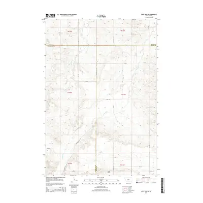
2015 Map of Saint Onge SE
USGS Topo · Published 2015About this map
Whitewood Cr and Stinkingwater Cr define the drainage patterns across this section of the Black Hills periphery, where the borders of Lawrence, Butte, and Meade counties meet. The landscape is characterized by a network of rural routes such as Whitewood Valley Rd and Bighorn Rd, which navigate the elevation changes between the stream valleys and prominent landforms like Snake Bench. Smaller tributaries including Ash Cr, Crow Cr, and Cottonwood Cr carve through the terrain, illustrating the hydrologic complexity of the region. This 2015 survey provides a modern baseline of the road infrastructure, from Fager Rd to Weisman Rd, tracing the rural developments and ranching parcels that occupy these high plains and valley floors.
Find a feature on this map
31 named features on this map. Tap any name to fly to it.
Don’t see what you’re looking for? This feature index may not catch every label — zoom into the map to look around manually.
Map Details
Editions of this 2015 Saint Onge SE Map
This is the sole edition of this map. No revisions or reprints were ever made.
Other maps of this area

1893 · Rapid
USGS Topo · 1:125,000

1894 · Deadwood
USGS Topo · 1:125,000

1898 · Rapid
USGS Topo · 1:125,000

1899 · Sturgis
USGS Topo · 1:62,500

1901 · Deadwood
USGS Topo · 1:125,000

1903 · Rapid
USGS Topo · 1:125,000

1905 · Saint Onge
USGS Topo · 1:62,500

1906 · Vale
USGS Topo · 1:62,500

1907 · Belle Fourche
USGS Topo · 1:125,000

1913 · Newell
USGS Topo · 1:125,000