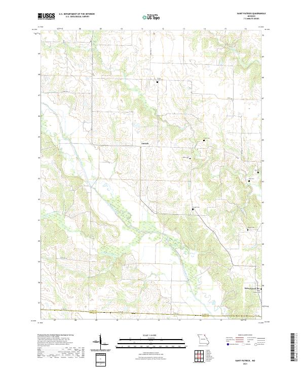
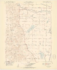
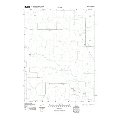
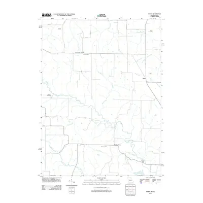
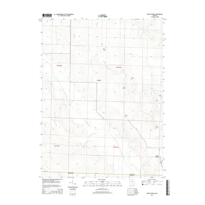
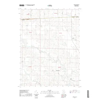
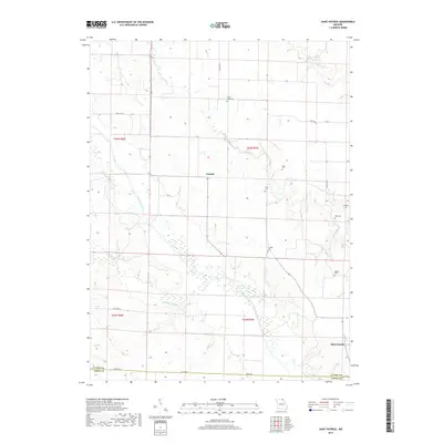
2021 Map of Saint Patrick
USGS Topo · Published 2021About this map
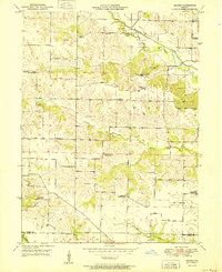
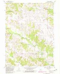
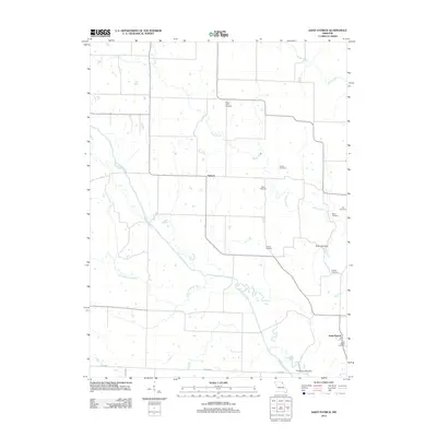
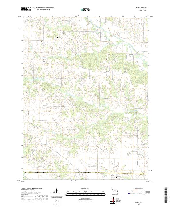
Saint Patrick and the rural intersection of Antioch anchor this survey of the borderlands between Clark Co and Lewis Co. The landscape is defined by the winding course of the Wyaconda River and its tributary, the Little Wyaconda River, which create a complex drainage pattern through the central and western sections of the map. A high density of family and community burial grounds, including Saint Patrick Cem, Cowgill Cem, and Mitts Cem, provides significant data for genealogical research, pinpointing historic settlement clusters that remain in this agrarian region.
Find a feature on this map
20 named features on this map. Tap any name to fly to it.
Don’t see what you’re looking for? This feature index may not catch every label — zoom into the map to look around manually.
Map Details
Editions of this 2021 Saint Patrick Map
This is the sole edition of this map. No revisions or reprints were ever made.
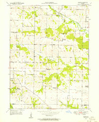
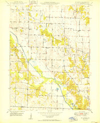
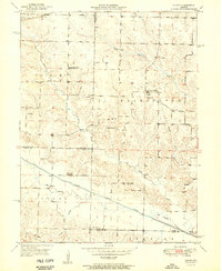
Historical Maps of Antioch Through Time
30 maps found
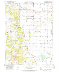
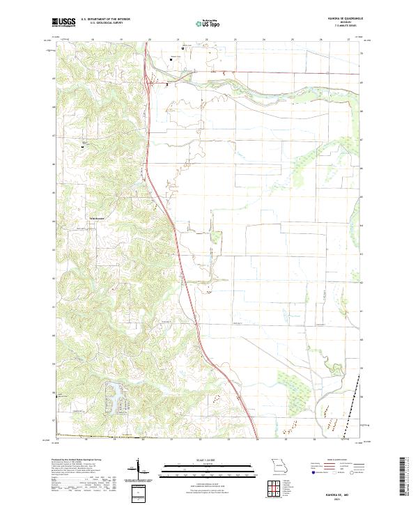
1949 Kahoka SE
Clark County, MO
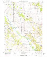
1949 St. Patrick
Clark County, MO
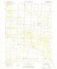
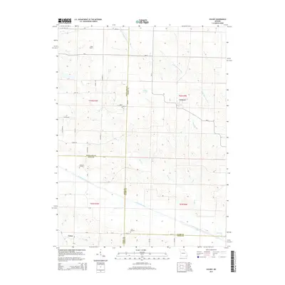
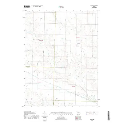
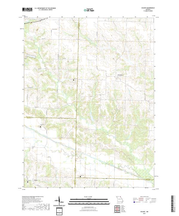
1950 Colony
Clark County, MO
1950 Kahoka SE
Clark County, MO
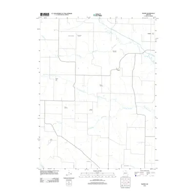
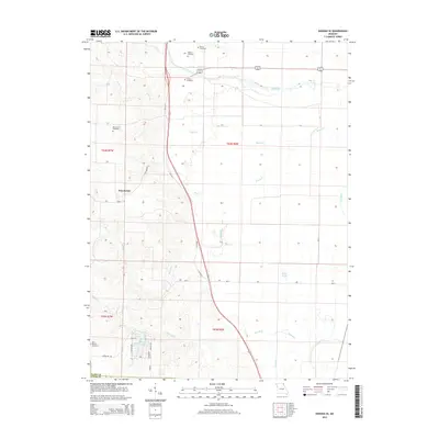
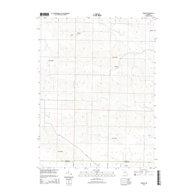
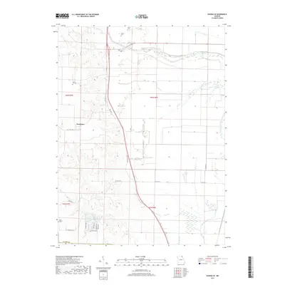
1950 Neeper
Clark County, MO
1950 St. Patrick
Clark County, MO
1951 Colony
Clark County, MO
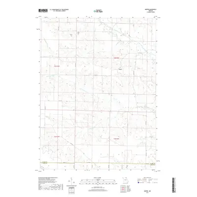
1951 Neeper
Clark County, MO
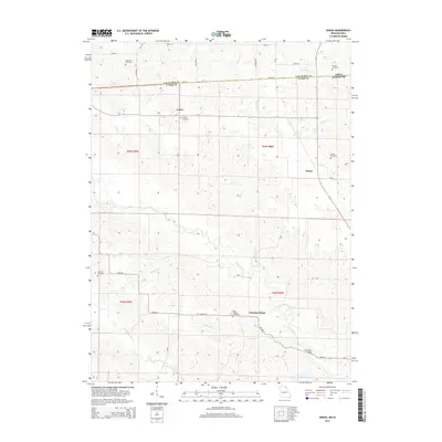
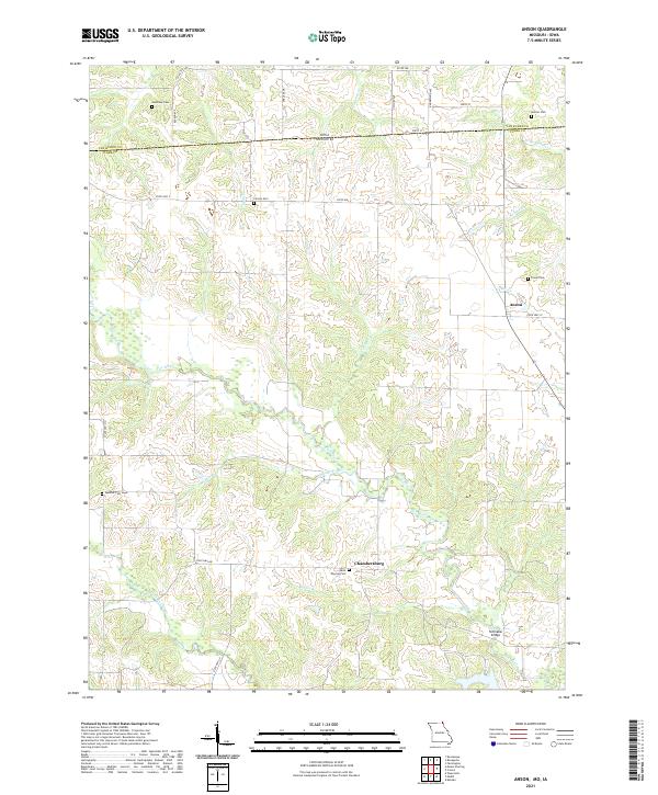
1968 Anson
Clark County, MO
2010 Anson
Clark County, MO
2012 Anson
Clark County, MO

2012 Colony
Clark County, MO
2012 Kahoka SE
Clark County, MO
2012 Neeper
Clark County, MO
2012 Saint Patrick
Clark County, MO
2014 Anson
Clark County, MO
2014 Colony
Clark County, MO
2014 Kahoka SE
Clark County, MO
2014 Neeper
Clark County, MO
2014 Saint Patrick
Clark County, MO
2017 Anson
Clark County, MO
2017 Colony
Clark County, MO
2017 Kahoka SE
Clark County, MO
2017 Neeper
Clark County, MO
2017 Saint Patrick
Clark County, MO
2021 Anson
Clark County, MO
2021 Colony
Clark County, MO
2021 Kahoka SE
Clark County, MO
2021 Neeper
Clark County, MO
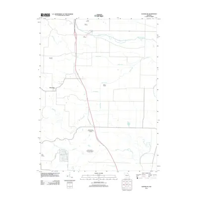
2021 Saint Patrick
Clark County, MO