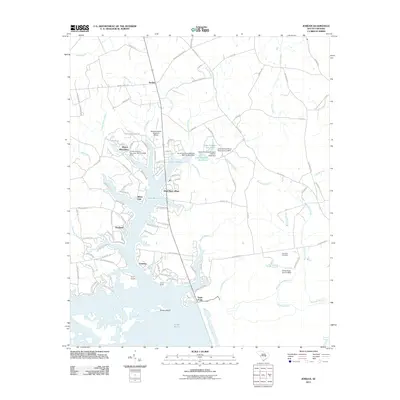
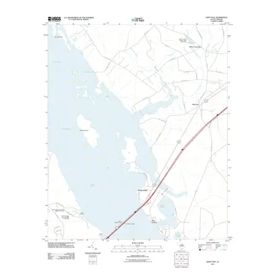
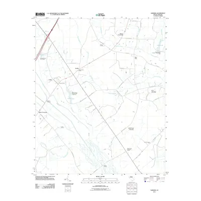
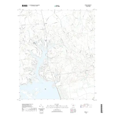
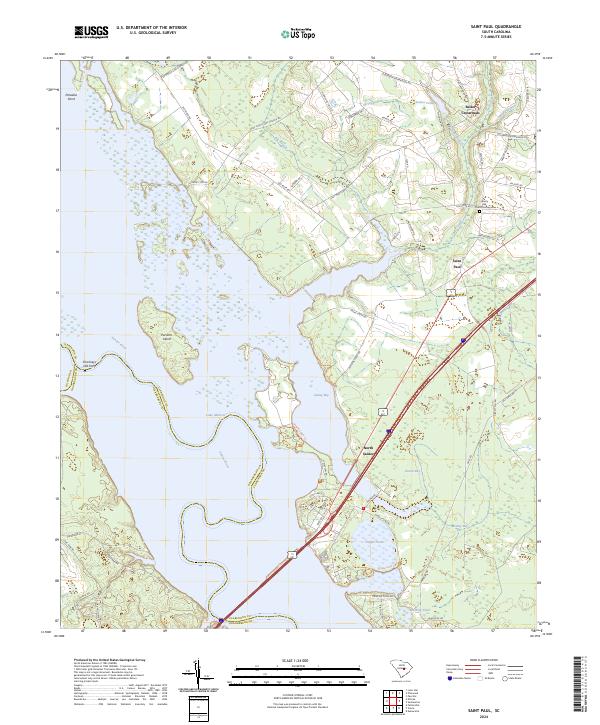
1980 Map of Saint Paul
USGS Topo · Published 1991About this map
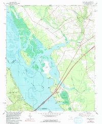
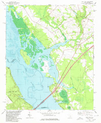
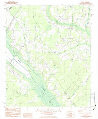
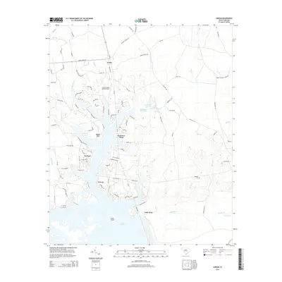
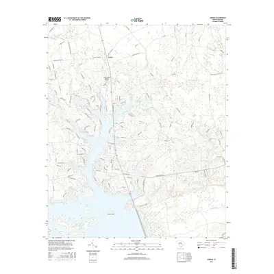
Lake Marion dominates the western half of this landscape, its waters submerging the former path of the Santee River while creating a complex shoreline of bays and inlets. The transition from terrestrial to aquatic environments is managed through the Santee National Wildlife Refuge, which encompasses specialized habitats like Cantey Bay and inland depressions such as Dingle Pond and Polly Cantey Pond. To the east, the settlement patterns of Clarendon County are centered around Saint Paul and Liberty Hill, where local heritage is anchored by St Phillips Ch and the Liberty Hill Sch. Infrastructure of a previous era is still visible through the Old Railroad Grade, which runs parallel to the modern highway network. Significant transit points like the Francis Marion Bridge and W J Gooding Bridge connect the region across the reservoir, while an Indian Mound on the shore of Cantey Bay hints at a much deeper human history in the area.
Find a feature on this map
37 named features on this map. Tap any name to fly to it.
Don’t see what you’re looking for? This feature index may not catch every label — zoom into the map to look around manually.
Map Details
Editions of this 1980 Saint Paul Map
2 editions found
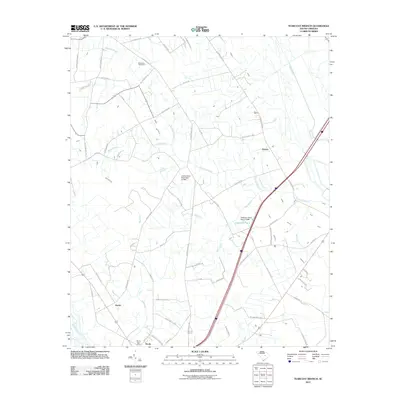
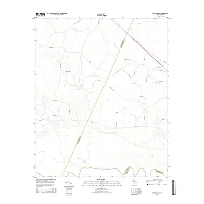
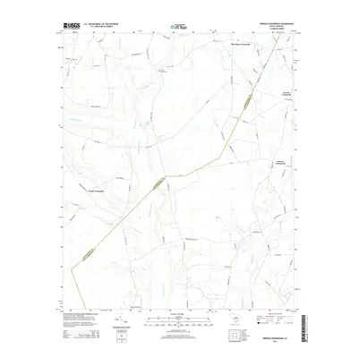
Historical Maps of Adams Landing Through Time
37 maps found
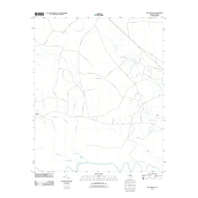
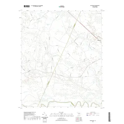
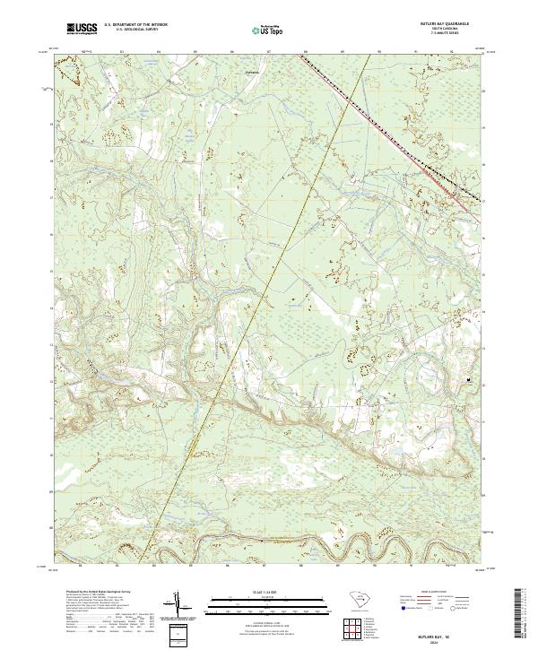
1979 Butlers Bay
Clarendon County, SC
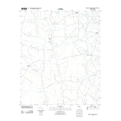
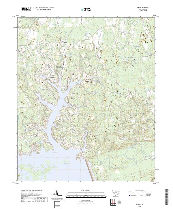
1980 Jordan
Clarendon County, SC
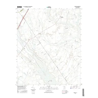
1980 Saint Paul
Clarendon County, SC
1983 Sardinia
Clarendon County, SC
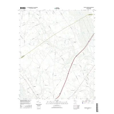
1983 Tearcoat Branch
Clarendon County, SC
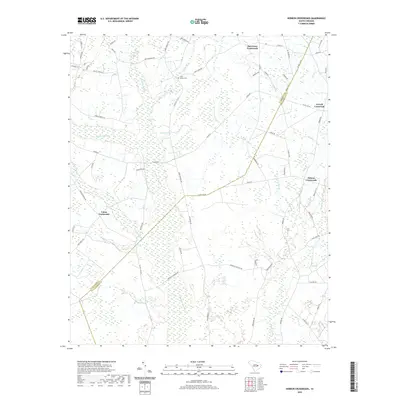
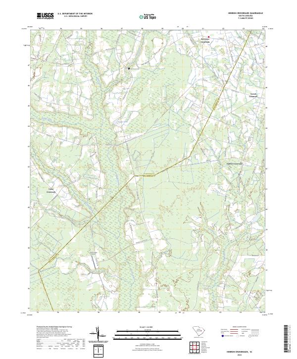
1990 Hebron Crossroads
Clarendon County, SC
1994 Saint Paul
Clarendon County, SC
2011 Butlers Bay
Clarendon County, SC
2011 Hebron Crossroads
Clarendon County, SC
2011 Jordan
Clarendon County, SC
2011 Saint Paul
Clarendon County, SC
2011 Sardinia
Clarendon County, SC
2011 Tearcoat Branch
Clarendon County, SC
2014 Butlers Bay
Clarendon County, SC
2014 Hebron Crossroads
Clarendon County, SC
2014 Jordan
Clarendon County, SC
2014 Saint Paul
Clarendon County, SC
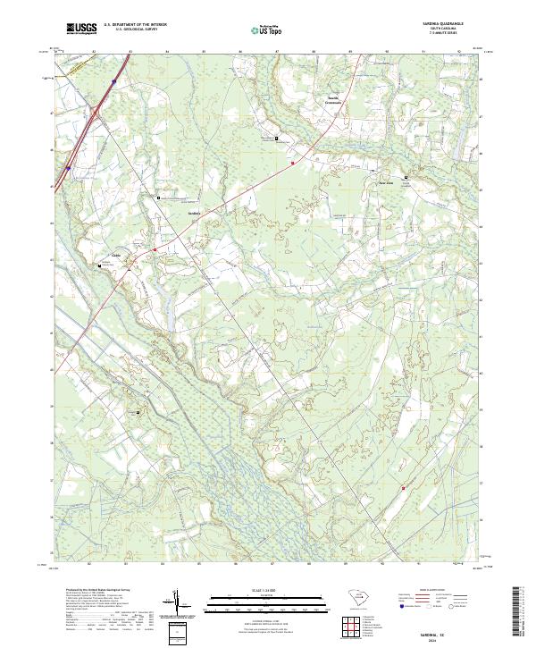
2014 Sardinia
Clarendon County, SC
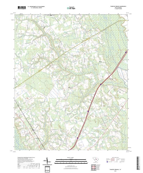
2014 Tearcoat Branch
Clarendon County, SC
2017 Butlers Bay
Clarendon County, SC
2017 Hebron Crossroads
Clarendon County, SC
2017 Jordan
Clarendon County, SC
2017 Saint Paul
Clarendon County, SC
2017 Sardinia
Clarendon County, SC
2017 Tearcoat Branch
Clarendon County, SC
2020 Butlers Bay
Clarendon County, SC
2020 Hebron Crossroads
Clarendon County, SC
2020 Jordan
Clarendon County, SC
2020 Saint Paul
Clarendon County, SC
2020 Sardinia
Clarendon County, SC
2020 Tearcoat Branch
Clarendon County, SC
2024 Butlers Bay
Clarendon County, SC
2024 Hebron Crossroads
Clarendon County, SC
2024 Jordan
Clarendon County, SC
2024 Saint Paul
Clarendon County, SC
2024 Sardinia
Clarendon County, SC
2024 Tearcoat Branch
Clarendon County, SC