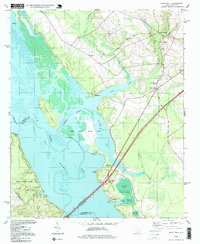
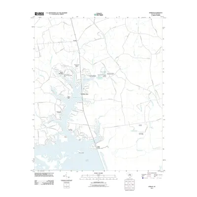
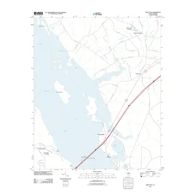
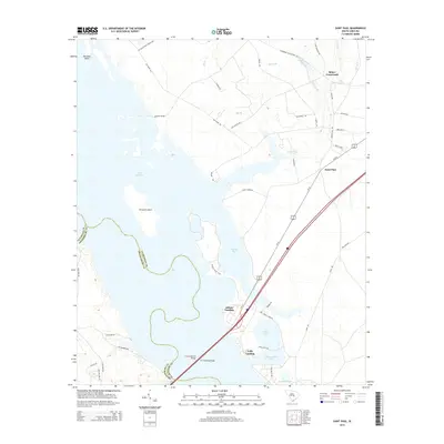
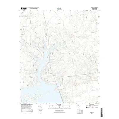
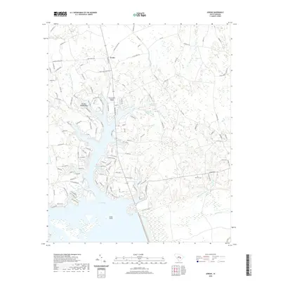
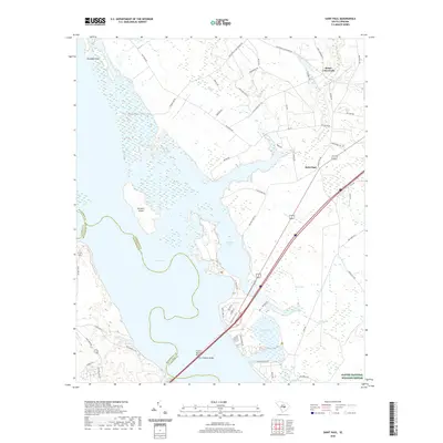
1994 Map of Saint Paul
USGS Topo · Published 1999About this map
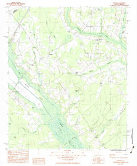
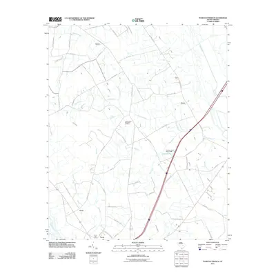
Lake Santee dominates the western half of this landscape, where the waters of the Marion River meet the low-lying wetlands of Cantey Bay. This mid-1990s environment is defined by the preservation efforts within the Santee National Wildlife Refuge, featuring landmarks like the ancient Indian Mound and several managed ponds such as Dingle Pond and Polly Cantey Pond. The map captures the infrastructure of the era, including the Francis Marion Bridge and W J Gooding Bridge carrying traffic across the water.
Find a feature on this map
38 named features on this map. Tap any name to fly to it.
Don’t see what you’re looking for? This feature index may not catch every label — zoom into the map to look around manually.
Map Details
Editions of this 1994 Saint Paul Map
This is the sole edition of this map. No revisions or reprints were ever made.
Historical Maps of Adams Landing Through Time
37 maps found
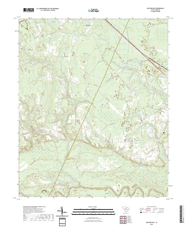
1979 Butlers Bay
Clarendon County, SC
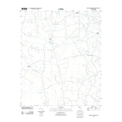
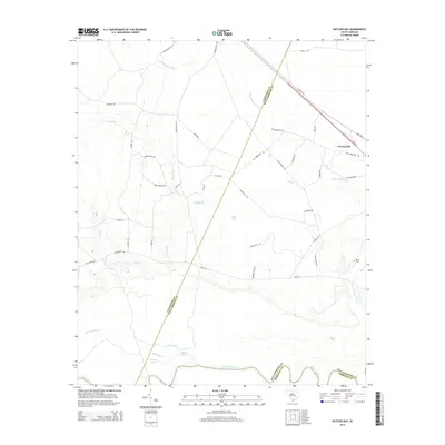
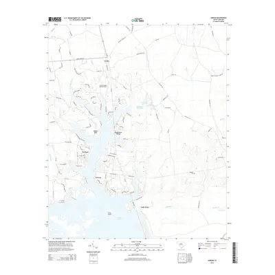
1980 Jordan
Clarendon County, SC
1980 Saint Paul
Clarendon County, SC
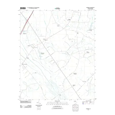
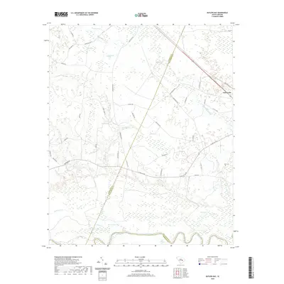
1983 Sardinia
Clarendon County, SC
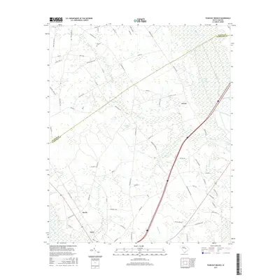
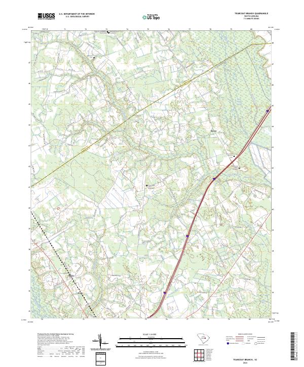
1983 Tearcoat Branch
Clarendon County, SC
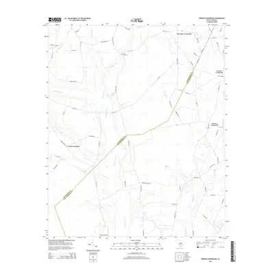
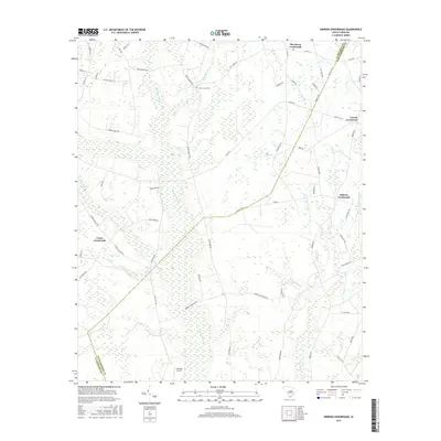
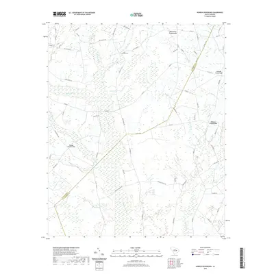
1990 Hebron Crossroads
Clarendon County, SC
1994 Saint Paul
Clarendon County, SC
2011 Butlers Bay
Clarendon County, SC
2011 Hebron Crossroads
Clarendon County, SC
2011 Jordan
Clarendon County, SC
2011 Saint Paul
Clarendon County, SC
2011 Sardinia
Clarendon County, SC
2011 Tearcoat Branch
Clarendon County, SC
2014 Butlers Bay
Clarendon County, SC
2014 Hebron Crossroads
Clarendon County, SC
2014 Jordan
Clarendon County, SC
2014 Saint Paul
Clarendon County, SC
2014 Sardinia
Clarendon County, SC
2014 Tearcoat Branch
Clarendon County, SC
2017 Butlers Bay
Clarendon County, SC
2017 Hebron Crossroads
Clarendon County, SC
2017 Jordan
Clarendon County, SC
2017 Saint Paul
Clarendon County, SC
2017 Sardinia
Clarendon County, SC
2017 Tearcoat Branch
Clarendon County, SC
2020 Butlers Bay
Clarendon County, SC
2020 Hebron Crossroads
Clarendon County, SC
2020 Jordan
Clarendon County, SC
2020 Saint Paul
Clarendon County, SC
2020 Sardinia
Clarendon County, SC
2020 Tearcoat Branch
Clarendon County, SC
2024 Butlers Bay
Clarendon County, SC
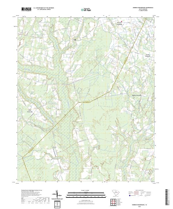
2024 Hebron Crossroads
Clarendon County, SC
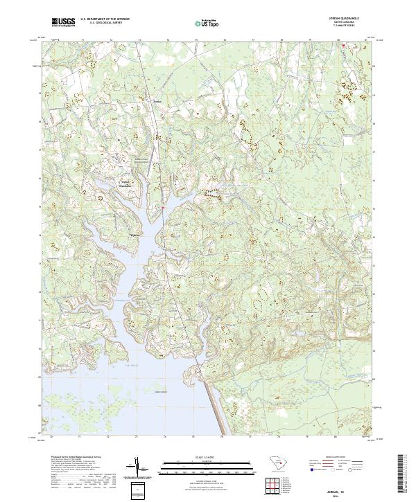
2024 Jordan
Clarendon County, SC
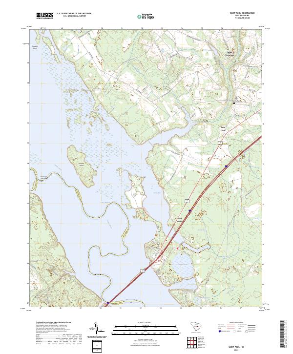
2024 Saint Paul
Clarendon County, SC
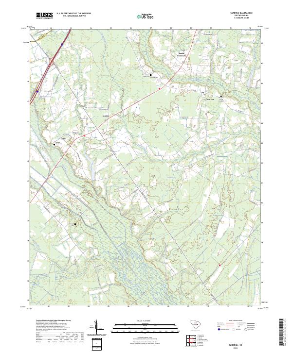
2024 Sardinia
Clarendon County, SC
2024 Tearcoat Branch
Clarendon County, SC