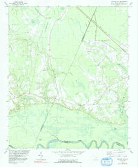
1979 Map of Butlers Bay
USGS Topo · Published 1991About this map
Santee River floodplains and the low-lying bay topography of the South Carolina Coastal Plain define this landscape at the junction of Clarendon, Williamsburg, and Berkeley counties. The map captures a rural network of small community centers centered around local parishes, including Long Branch Ch, St Lukes Ch, Pine Grove Ch, and St Johns Ch. The terrain is characterized by a high density of "bays" — unique elliptical depressions such as Buck Bay, Tiger Bay, and Butlers Bay — which alternate with dark swampy corridors like Mt Hope Swamp and Doctor Branch.
Find a feature on this map
26 named features on this map. Tap any name to fly to it.
Don’t see what you’re looking for? This feature index may not catch every label — zoom into the map to look around manually.
Map Details
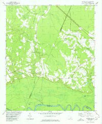
Editions of this 1979 Butlers Bay Map
2 editions found
Other maps of this area

1920 · Chicora
USGS Topo · 1:48,000

1920 · Manning
USGS Topo · 1:48,000

1921 · Chicora
USGS Topo · 1:62,500

1921 · Manning
USGS Topo · 1:62,500

1943 · Chicora
USGS Topo · 1:62,500

1943 · Bonneau
USGS Topo · 1:62,500

1944 · Manning
USGS Topo · 1:62,500

1946 · Kingstree
USGS Topo · 1:62,500

1949 · Georgetown
USGS Topo · 1:250,000

1954 · Augusta
USGS Topo · 1:250,000