
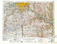
1953 Map of Saint Paul
USGS Topo · Published 1964About this map
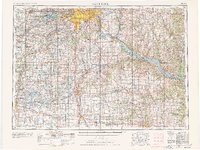
The Mississippi River and its major tributaries anchor this mid-century view of the Upper Midwest, where the Twin Cities of Minneapolis and Saint Paul serve as the hub for a massive regional transportation network. Revised in 1963, the map illustrates the early footprint of Interstate 35 and Interstate 94 as they began to reshape the urban landscape and connect outlying communities like Bloomington and St Louis Park.
Find a feature on this map
283 named features on this map. Tap any name to fly to it.
Don’t see what you’re looking for? This feature index may not catch every label — zoom into the map to look around manually.
Map Details
Editions of this 1953 Saint Paul Map
4 editions found
Historical Maps of Battle Creek Through Time
11 maps found
1951 St. Paul East
Ramsey County, MN

1951 St. Paul West
Ramsey County, MN
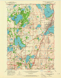
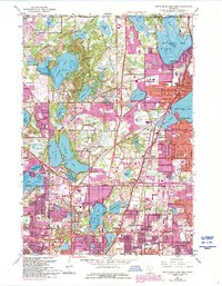
1952 White Bear Lake West
Ramsey County, MN
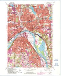
1953 Saint Paul
Ramsey County, MN

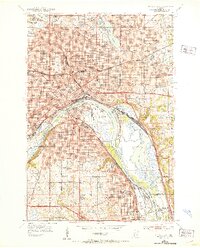
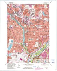
1959 Saint Paul
Ramsey County, MN
1967 St Paul East
Ramsey County, MN
1967 St. Paul West
Ramsey County, MN
1967 White Bear Lake West
Ramsey County, MN
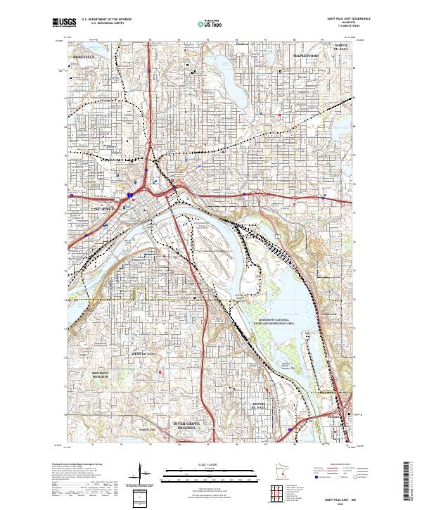
2022 Saint Paul East
Ramsey County, MN
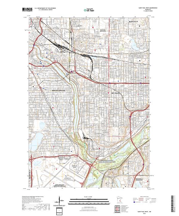
2022 Saint Paul West
Ramsey County, MN
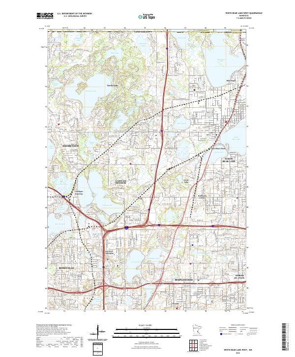
2022 White Bear Lake West
Ramsey County, MN