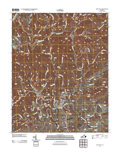
2011 Map of Saint Paul
USGS Topo · Published 2011About this map
The Clinch River carves through the heart of this Appalachian landscape, serving as a historic corridor for settlements like Saint Paul and Castlewood. The region's industrial and transit history is evidenced by an extensive network of railroad infrastructure, including the Sandy Ridge Tunnel, Craigen Tunnel, and Shannon Tunnel, which allowed rail lines to navigate the difficult terrain of Sandy Ridge and Nancy Ridge. Local genealogy is well-represented through numerous family burial sites such as Skeen Cemetery, Talbert Cemetery, and Robinette Cemetery, many tucked away in tributary hollows like Honey Branch and Lick Creek. At Bickley Mill, the map preserves a connection to the early rural economy, while the Charles Bickley Memorial Bridge provides a vital link across the river near Boody. This survey captures the intricate relationship between the winding river and the upland mining and farming communities of Dante and Virginia City.
Find a feature on this map
127 named features on this map. Tap any name to fly to it.
Don’t see what you’re looking for? This feature index may not catch every label — zoom into the map to look around manually.
Map Details
Editions of this 2011 Saint Paul Map
This is the sole edition of this map. No revisions or reprints were ever made.
Other maps of this area

1886 · Grundy
USGS Topo · 1:125,000

1890 · Grundy
USGS Topo · 1:125,000

1892 · Grundy
USGS Topo · 1:125,000

1897 · Bristol
USGS Topo · 1:125,000

1902 · Bristol
USGS Topo · 1:125,000

1913 · Clintwood
USGS Topo · 1:62,500

1914 · Bucu
USGS Topo · 1:48,000

1915 · Clintwood
USGS Topo · 1:62,500

1916 · Bucu
USGS Topo · 1:62,500

1918 · Carterton
USGS Topo · 1:62,500