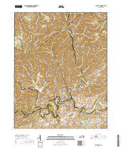
2019 Map of Saint Paul
USGS Topo · Published 2019About this map
The Clinch River snakes through the southern portion of this region, serving as a focal point for the settlements of Saint Paul and Castlewood. This landscape is defined by the steep ridges of the Appalachian plateau, where the Tennessee Valley Divide separates water systems across the rugged terrain of Dickenson, Russell, and Wise counties. The map captures a complex industrial and transport network, featuring numerous railroad tunnels such as the Little Bull Tunnel, Big Bull Tunnel, and Holbrook Tunnel that pierce the high ridges to connect coal-country outposts like Dante and West Dante.
Find a feature on this map
175 named features on this map. Tap any name to fly to it.
Don’t see what you’re looking for? This feature index may not catch every label — zoom into the map to look around manually.
Map Details
Editions of this 2019 Saint Paul Map
This is the sole edition of this map. No revisions or reprints were ever made.
Other maps of this area

1886 · Grundy
USGS Topo · 1:125,000

1890 · Grundy
USGS Topo · 1:125,000

1892 · Grundy
USGS Topo · 1:125,000

1897 · Bristol
USGS Topo · 1:125,000

1902 · Bristol
USGS Topo · 1:125,000

1913 · Clintwood
USGS Topo · 1:62,500

1914 · Bucu
USGS Topo · 1:48,000

1915 · Clintwood
USGS Topo · 1:62,500

1916 · Bucu
USGS Topo · 1:62,500

1918 · Carterton
USGS Topo · 1:62,500