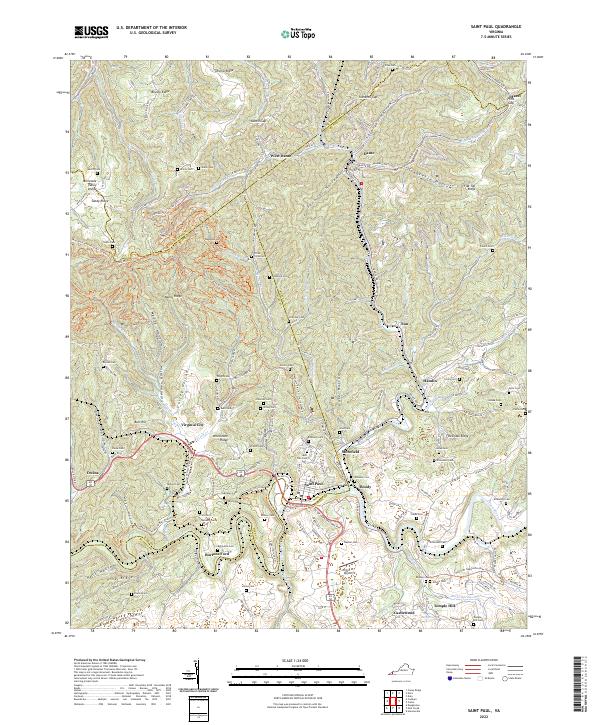
2022 Map of Saint Paul
USGS Topo · Published 2022About this map
Saint Paul sits at a strategic bend of the Clinch River, serving as a central hub where Russell Co and Wise Co meet. This terrain is defined by narrow ridges and deep hollows, including Cigarette Hollow and Maize Hollow, which have long dictated the path of human settlement and transport in this corner of the Appalachian coalfields. The Norfolk Southern railway lines thread through these valleys, connecting the mining communities of Dante and West Dante in the north to the river-fronting industries at Boody and Burtons Ford.
Find a feature on this map
181 named features on this map. Tap any name to fly to it.
Don’t see what you’re looking for? This feature index may not catch every label — zoom into the map to look around manually.
Map Details
Editions of this 2022 Saint Paul Map
This is the sole edition of this map. No revisions or reprints were ever made.
Other maps of this area

1886 · Grundy
USGS Topo · 1:125,000

1890 · Grundy
USGS Topo · 1:125,000

1892 · Grundy
USGS Topo · 1:125,000

1897 · Bristol
USGS Topo · 1:125,000

1902 · Bristol
USGS Topo · 1:125,000

1913 · Clintwood
USGS Topo · 1:62,500

1914 · Bucu
USGS Topo · 1:48,000

1915 · Clintwood
USGS Topo · 1:62,500

1916 · Bucu
USGS Topo · 1:62,500

1918 · Carterton
USGS Topo · 1:62,500