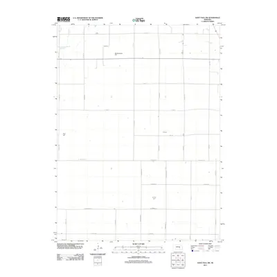
2011 Map of Saint Paul SW
USGS Topo · Published 2011About this map
Mumpumpey Hill and Pool Hill rise as modest topographic markers in this agricultural landscape of Hall County. The terrain is defined by a rigid grid of section roads, with corridors like N Monitor Rd and N Engleman Rd partitioning the plains into large-scale farm plots. The drainage of the land is visible through natural features such as Big Slough and Lake Creek, which intersect the northern portion of the map. This 2011 survey captures the transition between the rolling hills and the flat bottomlands defined by the nearby river systems, indicated by the east-west orientation of W Loup River Rd and W Prairie Rd. The map illustrates a rural area optimized for production, where the road network provides the primary evidence of human geography.
Find a feature on this map
26 named features on this map. Tap any name to fly to it.
Don’t see what you’re looking for? This feature index may not catch every label — zoom into the map to look around manually.
Map Details
Editions of this 2011 Saint Paul SW Map
This is the sole edition of this map. No revisions or reprints were ever made.
Other maps of this area

1892 · Grand Island
USGS Topo · 1:62,500

1895 · Grand Island
USGS Topo · 1:62,500

1895 · Wood River
USGS Topo · 1:62,500

1896 · Wood River
USGS Topo · 1:125,000

1898 · Grand Island
USGS Topo · 1:125,000

1899 · Loup
USGS Topo · 1:125,000

1899 · St. Paul
USGS Topo · 1:125,000

1953 · Dannebrog
USGS Topo · 1:24,000

1953 · Nysted
USGS Topo · 1:24,000

1955 · Broken Bow
USGS Topo · 1:250,000