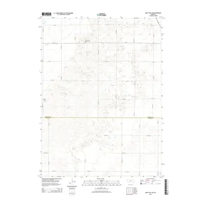
2014 Map of Saint Paul SW
USGS Topo · Published 2014About this map
The prairie landscape of the central Platte River valley is defined by subtle elevations and vital watercourses along the border of Howard and Hall counties. Notable topographic landmarks such as Mumpumpey Hill and Pool Hill rise above the surrounding terrain, providing orientation points in an area characterized by a rigorous grid of section-line roads. The drainage pattern is marked by Big Slough and Lake Cr in the northwest, reflecting the low-lying nature of the region. This 2014 survey documents a mature agricultural layout, where primary thoroughfares like Ne-58 and Kimball Rd facilitate movement across the rural expanse. The map illustrates how human engineering, represented by the dense network of roads including Friend Rd and Gordon Rd, has superimposed order upon a landscape naturally shaped by the gradual contours of the Nebraska plains.
Find a feature on this map
25 named features on this map. Tap any name to fly to it.
Don’t see what you’re looking for? This feature index may not catch every label — zoom into the map to look around manually.
Map Details
Editions of this 2014 Saint Paul SW Map
This is the sole edition of this map. No revisions or reprints were ever made.
Other maps of this area

1892 · Grand Island
USGS Topo · 1:62,500

1895 · Grand Island
USGS Topo · 1:62,500

1895 · Wood River
USGS Topo · 1:62,500

1896 · Wood River
USGS Topo · 1:125,000

1898 · Grand Island
USGS Topo · 1:125,000

1899 · Loup
USGS Topo · 1:125,000

1899 · St. Paul
USGS Topo · 1:125,000

1953 · Dannebrog
USGS Topo · 1:24,000

1953 · Nysted
USGS Topo · 1:24,000

1955 · Broken Bow
USGS Topo · 1:250,000