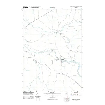
2013 Map of Saint Regis Falls
USGS Topo · Published 2013About this map
Saint Regis Falls and Dickinson Center serve as the primary hubs of activity in this northern New York landscape. The Saint Regis River flows through the heart of the region, spanned by the Saint Regis River Bridge, which connects the community's residential and civic areas. In the village, a cluster of historic markers including Saint Anns Cem, Forest Cem, and the local Po illustrate the settled core of the quadrangle.
Find a feature on this map
74 named features on this map. Tap any name to fly to it.
Don’t see what you’re looking for? This feature index may not catch every label — zoom into the map to look around manually.
Map Details
Editions of this 2013 Saint Regis Falls Map
This is the sole edition of this map. No revisions or reprints were ever made.
Other maps of this area

1915 · Malone
USGS Topo · 1:62,500

1915 · Moira
USGS Topo · 1:62,500

1917 · Malone
USGS Topo · 1:62,500

1917 · Moira
USGS Topo · 1:62,500

1919 · Nicholville
USGS Topo · 1:62,500

1921 · Nicholville
USGS Topo · 1:62,500

1921 · Santa Clara
USGS Topo · 1:62,500

1923 · Santa Clara
USGS Topo · 1:62,500

1944 · Moira
USGS Topo · 1:62,500

1948 · Ogdensburg
USGS Topo · 1:250,000