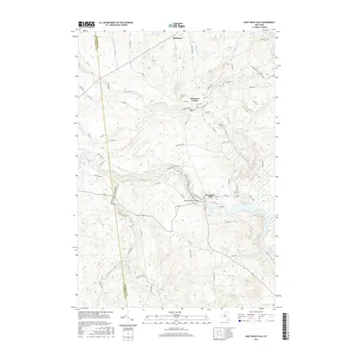
2016 Map of Saint Regis Falls
USGS Topo · Published 2016About this map
Saint Regis Falls sits at the heart of this North Country landscape where the Saint Regis River carves through the foothills of the Adirondacks. The map traces the river's path as it flows under the Saint Regis River Bridge and continues northwest toward Dickinson Center. This 2016 survey documents a region defined by its water and forestry, with the southern portion dominated by the Santa Clara Tract and drainage from the Lake Ozonia Outlet. Genealogists and local historians can locate several rural burial grounds, including Fairview Cem, Saint Anns Cem, and the small Ives Cem. The settlement pattern follows the river valleys and old routes like Port Kent Rd, reflecting a landscape where geography and infrastructure are deeply intertwined along the Deer River and Kingston Brook.
Find a feature on this map
66 named features on this map. Tap any name to fly to it.
Don’t see what you’re looking for? This feature index may not catch every label — zoom into the map to look around manually.
Map Details
Editions of this 2016 Saint Regis Falls Map
This is the sole edition of this map. No revisions or reprints were ever made.
Other maps of this area

1915 · Malone
USGS Topo · 1:62,500

1915 · Moira
USGS Topo · 1:62,500

1917 · Malone
USGS Topo · 1:62,500

1917 · Moira
USGS Topo · 1:62,500

1919 · Nicholville
USGS Topo · 1:62,500

1921 · Nicholville
USGS Topo · 1:62,500

1921 · Santa Clara
USGS Topo · 1:62,500

1923 · Santa Clara
USGS Topo · 1:62,500

1944 · Moira
USGS Topo · 1:62,500

1948 · Ogdensburg
USGS Topo · 1:250,000