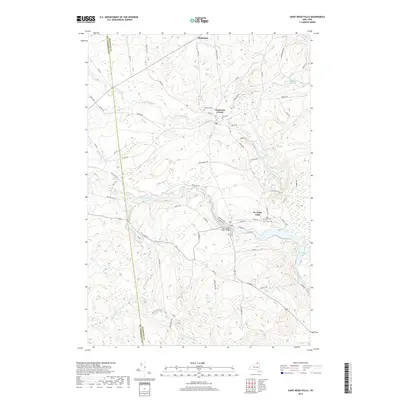
2019 Map of Saint Regis Falls
USGS Topo · Published 2019About this map
St. Regis Falls and Dickinson Center anchor this detailed survey of the North Country, where the landscape is defined by the winding course of the Saint Regis River and the Deer River. The map reveals a community deeply connected to its waterways and rural topography, from the drainage of Lake Ozonia Outlet to the heights of Pothook Hill Rd. Local genealogists will find significant value in the documentation of several burial grounds, including Saint Anns Cem, Forest Cem, and Ives Cem. The southern portion of the sheet highlights the transition into more forested terrain within the Santa Clara Tract, while the northern section near Dickinson maintains a network of rural routes such as Savage Rd and Peru St that trace the historical development of these Adirondack foothills.
Find a feature on this map
68 named features on this map. Tap any name to fly to it.
Don’t see what you’re looking for? This feature index may not catch every label — zoom into the map to look around manually.
Map Details
Editions of this 2019 Saint Regis Falls Map
This is the sole edition of this map. No revisions or reprints were ever made.
Other maps of this area

1915 · Malone
USGS Topo · 1:62,500

1915 · Moira
USGS Topo · 1:62,500

1917 · Malone
USGS Topo · 1:62,500

1917 · Moira
USGS Topo · 1:62,500

1919 · Nicholville
USGS Topo · 1:62,500

1921 · Nicholville
USGS Topo · 1:62,500

1921 · Santa Clara
USGS Topo · 1:62,500

1923 · Santa Clara
USGS Topo · 1:62,500

1944 · Moira
USGS Topo · 1:62,500

1948 · Ogdensburg
USGS Topo · 1:250,000