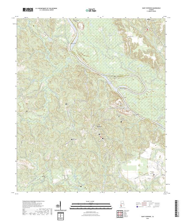
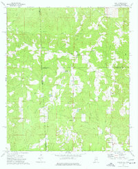
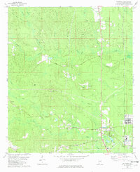
2024 Map of Saint Stephens
USGS Topo · Published 2024This historical map portrays the area of Saint Stephens in 2024, primarily covering Washington County as well as portions of Clarke County. Featuring a scale of 1:24000, this map provides a highly detailed snapshot of the terrain, roads, buildings, counties, and historical landmarks in the Saint Stephens region at the time. Published in 2024, it is the sole known edition of this map.
Map Details
Editions of this 2024 Saint Stephens Map
This is the sole edition of this map. No revisions or reprints were ever made.
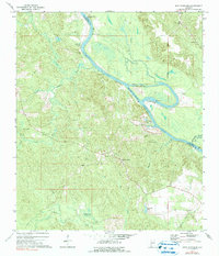
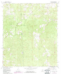
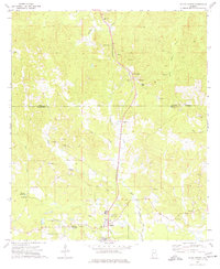
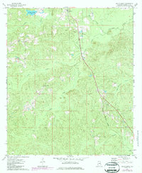
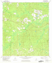
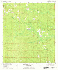
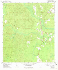
Historical Maps of Washington County Through Time
25 maps found
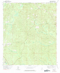
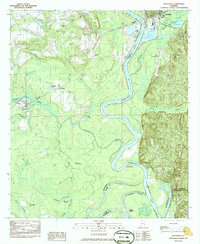
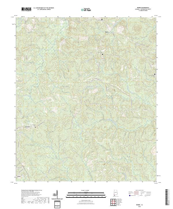
1971 Bigbee
Washington County, AL
1971 Bladon Springs
Washington County, AL
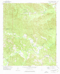
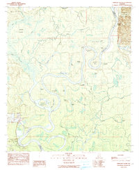
1972 Saint Stephens
Washington County, AL
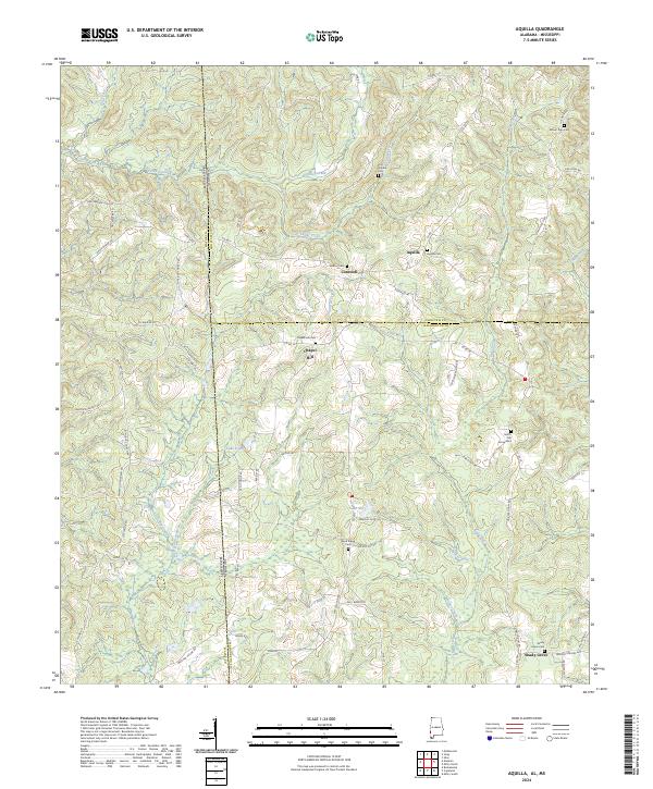
1974 Aquilla
Washington County, AL
1974 Copeland
Washington County, AL
1974 Millry North
Washington County, AL
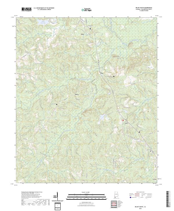
1974 Millry South
Washington County, AL
1982 Mc Intosh
Washington County, AL
1982 Rutan
Washington County, AL
1982 Seaboard
Washington County, AL
1982 Wagarville
Washington County, AL
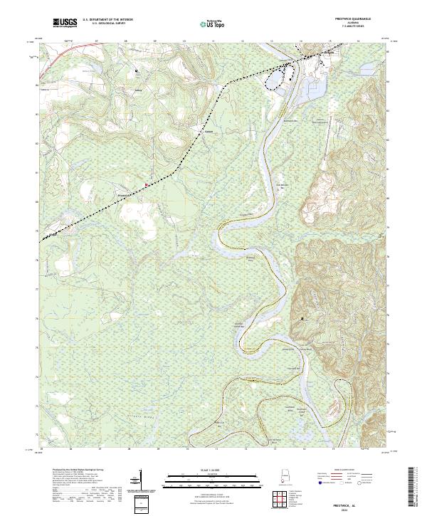
1983 Prestwick
Washington County, AL
1984 Ginhouse Island
Washington County, AL
2024 Aquilla
Washington County, AL
2024 Bigbee
Washington County, AL
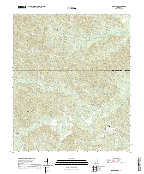
2024 Bladon Springs
Washington County, AL
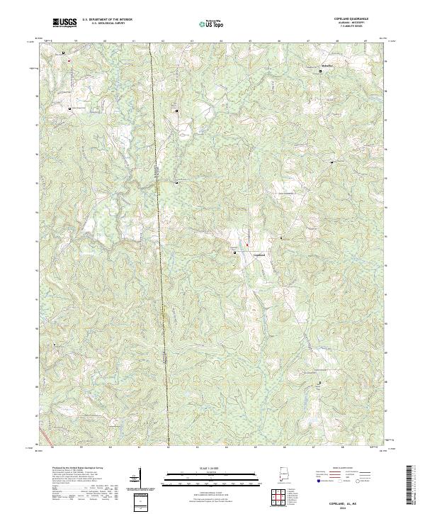
2024 Copeland
Washington County, AL
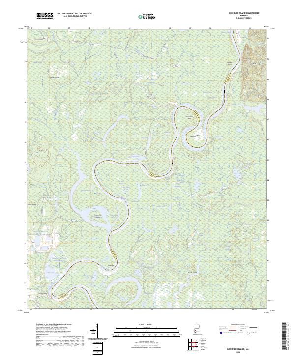
2024 Ginhouse Island
Washington County, AL
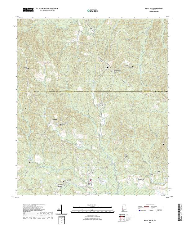
2024 Millry North
Washington County, AL
2024 Millry South
Washington County, AL
2024 Prestwick
Washington County, AL
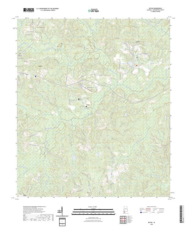
2024 Rutan
Washington County, AL
2024 Saint Stephens
Washington County, AL
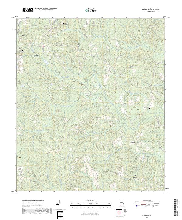
2024 Seaboard
Washington County, AL
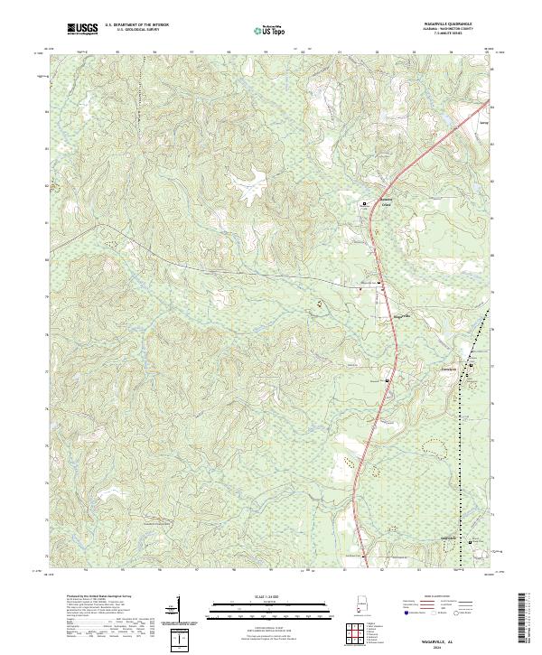
2024 Wagarville
Washington County, AL