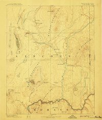
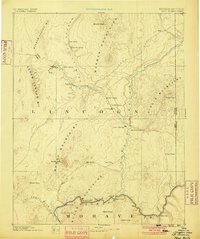
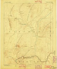
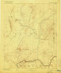
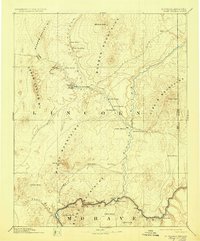
1886 Map of Saint Thomas
USGS Topo · Published 1908About this map
Saint Thomas and other early Mormon settlements anchor this late 19th-century landscape long before the creation of Lake Mead. This survey records a critical desert corridor where the Virgin River meets the Colorado River, featuring vital river crossings like Stone Ferry and Scanlon Ferry. The map captures the infrastructure of western migration, including the Old California Trail and the Old California Crossing near West Point. Beyond the river valleys, the terrain is defined by the Muddy Mountains and Black Mountains, where a lonely Salt Mine and scattered watering points like Bitter Spring provided the only resources for travelers. This document preserves the location of Old Callville and Saint Joseph in their original riverine context, providing a clear view of the territorial boundary between Lincoln and Mohave counties before modern inundation altered the geography.
Find a feature on this map
44 named features on this map. Tap any name to fly to it.
Don’t see what you’re looking for? This feature index may not catch every label — zoom into the map to look around manually.
Map Details
Editions of this 1886 Saint Thomas Map
6 editions found
Other maps of this area

1885 · St. George
USGS Topo · 1:250,000

1885 · Pioche
USGS Topo · 1:250,000

1886 · Diamond Creek
USGS Topo · 1:250,000

1886 · Camp Mohave
USGS Topo · 1:250,000

1886 · Saint Thomas
USGS Topo · 1:250,000

1886 · Mt. Trumbull
USGS Topo · 1:250,000

1886 · Pioche
USGS Topo · 1:250,000

1891 · St. George
USGS Topo · 1:250,000

1892 · Diamond Creek
USGS Topo · 1:250,000

1892 · Mt. Trumbull
USGS Topo · 1:250,000