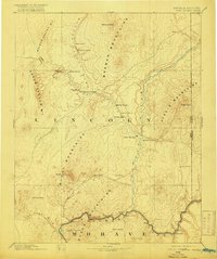
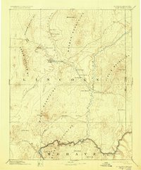
1886 Map of Saint Thomas
USGS Topo · Published 1916About this map
Saint Thomas and Saint Joseph serve as the primary hubs of this high-desert landscape in the late 19th century, years before the waters of Lake Mead would fundamentally alter the region's geography. The map documents a critical transition point for pioneers and traders, anchored by the Virgin River and the Colorado River. Transportation relies on established landmarks like the Old California Trail and river crossings such as Stone Ferry and Scanlon Ferry.
Find a feature on this map
43 named features on this map. Tap any name to fly to it.
Don’t see what you’re looking for? This feature index may not catch every label — zoom into the map to look around manually.
Map Details
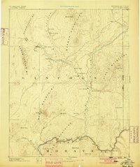
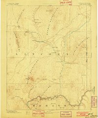
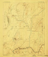
Editions of this 1886 Saint Thomas Map
6 editions found
Other maps of this area

1885 · St. George
USGS Topo · 1:250,000

1885 · Pioche
USGS Topo · 1:250,000

1886 · Diamond Creek
USGS Topo · 1:250,000

1886 · Camp Mohave
USGS Topo · 1:250,000

1886 · Saint Thomas
USGS Topo · 1:250,000

1886 · Mt. Trumbull
USGS Topo · 1:250,000

1886 · Pioche
USGS Topo · 1:250,000

1891 · St. George
USGS Topo · 1:250,000

1892 · Diamond Creek
USGS Topo · 1:250,000

1892 · Mt. Trumbull
USGS Topo · 1:250,000