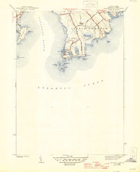
1942 Map of Sakonnet Point
USGS Topo · Published 1946About this map
Sakonnet Point serves as the terminal landmark of this coastal landscape, where the Sakonnet River meets the Atlantic Ocean. The region is defined by a series of significant coastal ponds and wetlands, including Long Pond, Watch House Pond, and Awashonks Swamp, which emphasize the low-lying maritime geography of Little Compton. Settlement is focused along established corridors such as Sakonnet Point Rd and Warren Point Rd, leading to the small harbor at Sakonnet.
Find a feature on this map
44 named features on this map. Tap any name to fly to it.
Don’t see what you’re looking for? This feature index may not catch every label — zoom into the map to look around manually.
Map Details
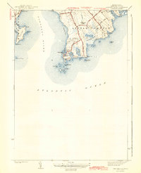
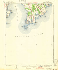
Editions of this 1942 Sakonnet Point Map
3 editions found
Other maps of this area

1885 · Sakonnet
USGS Topo · 1:62,500

1888 · Fall River
USGS Topo · 1:62,500

1888 · Sakonnet
USGS Topo · 1:62,500

1889 · Newport
USGS Topo · 1:62,500

1890 · Narragansett Bay
USGS Topo · 1:62,500

1892 · Narragansett Bay
USGS Topo · 1:62,500

1893 · Sakonnet
USGS Topo · 1:62,500

1893 · Fall River
USGS Topo · 1:62,500

1894 · Newport
USGS Topo · 1:62,500

1904 · Newport
USGS Topo · 1:62,500