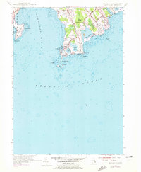
1955 Map of Sakonnet Point
USGS Topo · Published 1972About this map
Sakonnet Point anchors the southern tip of the Little Compton peninsula in this mid-century topographic record. The landscape reveals a coastal economy transitioning between traditional maritime life and seasonal recreation, exemplified by the proximity of Sakonnet Light and the Sakonnet Golf Course. The map details the intricate shoreline from Sachuest Point across the mouth of the Sakonnet River, highlighting the navigational hazards of Cormorant Rock and Island Rocks. Interior features like Wilbur Woods and the wetlands of Wilbur Swamp offer a glimpse into the natural state of the Rhode Island coast before late-20th-century development. Settlement patterns are concentrated around Sakonnet and the northern reaches near Woods Castle, connected by a network of established local routes including Sakonnet Point Rd and Taylors Lane.
Find a feature on this map
43 named features on this map. Tap any name to fly to it.
Don’t see what you’re looking for? This feature index may not catch every label — zoom into the map to look around manually.
Map Details
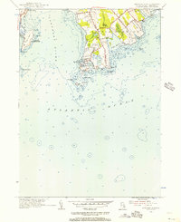
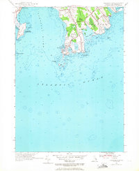
Editions of this 1955 Sakonnet Point Map
3 editions found
Other maps of this area

1885 · Sakonnet
USGS Topo · 1:62,500

1888 · Fall River
USGS Topo · 1:62,500

1888 · Sakonnet
USGS Topo · 1:62,500

1889 · Newport
USGS Topo · 1:62,500

1890 · Narragansett Bay
USGS Topo · 1:62,500

1892 · Narragansett Bay
USGS Topo · 1:62,500

1893 · Sakonnet
USGS Topo · 1:62,500

1893 · Fall River
USGS Topo · 1:62,500

1894 · Newport
USGS Topo · 1:62,500

1904 · Newport
USGS Topo · 1:62,500