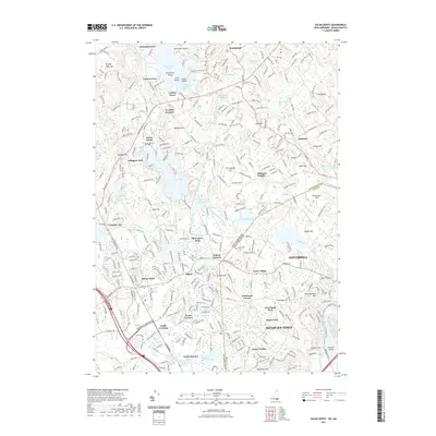
2021 Map of Salem Depot
USGS Topo · Published 2021About this map
Salem Depot and the surrounding borderlands of Rockingham County and Essex County reflect a complex landscape of early industrial water power and modern suburban growth. The Spicket River and Policy Brook weave through a terrain defined by historic clusters like Wilson Corners and Cowbell Corners. Large water bodies such as Big Island Pond and the Arlington Mill Reservoir dominate the northern and central sections, originally serving the mill economies of North Salem and Salem. Researchers will find significant genealogical interest in the numerous burying grounds, including Mount Pleasant Cem and Hillside Cem, which sit alongside established neighborhoods like Arlington Park and Ayers Village. The map also captures the transition between the developed transit corridors of the Veterans Memorial Pkwy and the wooded hills of Mystery Hill and Zion Hill.
Find a feature on this map
77 named features on this map. Tap any name to fly to it.
Don’t see what you’re looking for? This feature index may not catch every label — zoom into the map to look around manually.
Map Details
Editions of this 2021 Salem Depot Map
This is the sole edition of this map. No revisions or reprints were ever made.
Other maps of this area

1886 · Lawrence
USGS Topo · 1:62,500

1886 · Lowell
USGS Topo · 1:62,500

1888 · Haverhill
USGS Topo · 1:62,500

1888 · Lawrence
USGS Topo · 1:62,500

1890 · Haverhill
USGS Topo · 1:62,500

1893 · Lowell
USGS Topo · 1:62,500

1893 · Lawrence
USGS Topo · 1:62,500

1893 · Haverhill
USGS Topo · 1:62,500

1905 · Manchester
USGS Topo · 1:62,500

1918 · Lowell
USGS Topo · 1:62,500