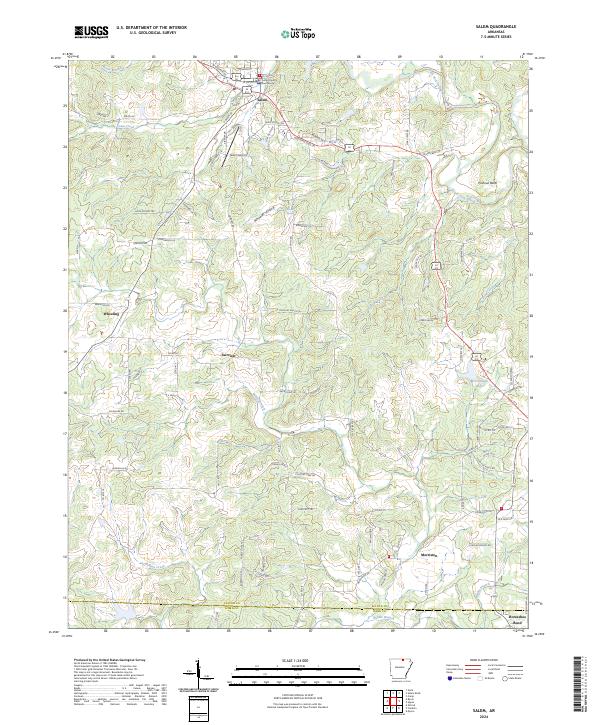
2024 Map of Salem
USGS Topo · Published 2024About this map
The Fulton County Courthouse serves as the focal point of Salem, situated in a landscape defined by the winding South Fork Spring River and several smaller tributaries. This 2024 survey captures the layout of the county seat at the intersection of local routes like W Church St and S Main St, where the town's civic center meets residential developments. The area is characterized by a series of hollows and bends, most notably Pinhook Bend and Wheeler Hollow, which influence the local road network.
Find a feature on this map
94 named features on this map. Tap any name to fly to it.
Don’t see what you’re looking for? This feature index may not catch every label — zoom into the map to look around manually.
Map Details
Editions of this 2024 Salem Map
This is the sole edition of this map. No revisions or reprints were ever made.
Other maps of this area

1950 · Salem
USGS Topo · 1:62,500

1951 · Salem
USGS Topo · 1:62,500

1951 · Melbourne
USGS Topo · 1:62,500

1957 · Poplar Bluff
USGS Topo · 1:250,000

1959 · Poplar Bluff
USGS Topo · 1:250,000

1960 · Poplar Bluff
USGS Topo · 1:250,000

1962 · Myron
USGS Topo · 1:24,000

1962 · Agnos
USGS Topo · 1:24,000
1962 · Camp
USGS Topo · 1:24,000
1976 · Salem SW
USGS Topo · 1:24,000